Summary
With an elevation of 10,301 feet (3,140 meters), it offers breathtaking views of the surrounding Sierra Nevada Mountains. This granite peak is known for its challenging climbing routes and attracts mountaineers from around the world.
During the winter season, Tenaya Peak experiences a significant snowpack, adding to the allure for winter sports enthusiasts. The snowpack range can vary depending on the precipitation levels, but it typically provides excellent opportunities for skiing, snowshoeing, and ice climbing. The mountain's snow-covered slopes create a picturesque landscape.
Runoff from Tenaya Peak feeds into several creeks and rivers in the vicinity. The most notable of these is Tenaya Creek, which flows through Yosemite Valley and eventually merges with the Merced River. This mountain runoff contributes to the water supply in the region and supports the diverse ecosystem of the park.
The name "Tenaya" holds historical significance as it pays tribute to Chief Tenaya, the leader of the Ahwahneechee people who once inhabited the Yosemite Valley. Legend has it that Tenaya was a great warrior and fiercely defended his people and their territory against rival tribes. Exploring the lore and legends surrounding Tenaya Peak adds depth to the understanding of the area's rich cultural heritage.
In conclusion, Tenaya Peak is a magnificent mountain in the Pacific Ranges mountain range, boasting a significant elevation and offering exhilarating mountaineering opportunities. Its winter snowpack range, contribution to nearby creeks and rivers, and historical associations make it a captivating destination for outdoor enthusiasts and those interested in the region's cultural heritage.
°F
°F
mph
Wind
%
Humidity
15-Day Weather Outlook
5-Day Hourly Forecast Detail
Regional Streamflow Levels
416
Cubic Feet Per Second
0
Cubic Feet Per Second
100
Cubic Feet Per Second
22
Cubic Feet Per Second
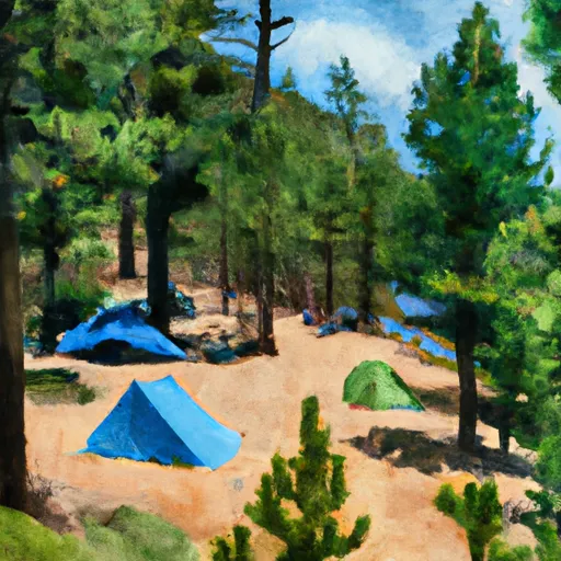
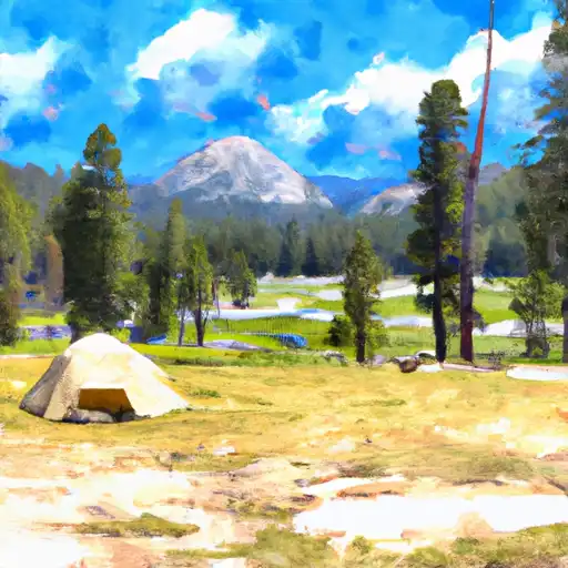
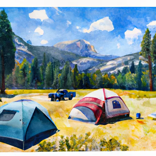
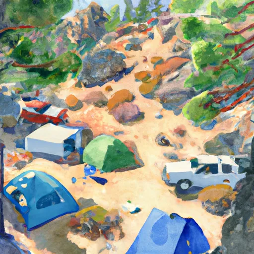
Area Campgrounds
| Location | Reservations | Toilets |
|---|---|---|
 Sunrise High Sierra Camp
|
||
 Campground May Lake
|
||
 Tuolumne Meadows - Yosemite National Park
|
||
 Tuolumne Meadows
|
||
 Vogelsang Backpacker Camp
|
||
 Porcupine Flat
|
