Summary
Rising to an elevation of 6,842 feet (2,085 meters), it offers stunning panoramic views of the surrounding valleys and peaks. It is a popular destination for mountaineers and hikers due to its accessibility and challenging terrain.
During the winter season, The Brothers receives a significant amount of snowpack, typically ranging from 200 to 400 inches (5 to 10 meters). This heavy snowfall makes it an ideal destination for winter mountaineering, offering opportunities for backcountry skiing and snowboarding. The mountain's steep slopes and rugged terrain provide a thrilling experience for advanced climbers.
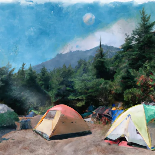
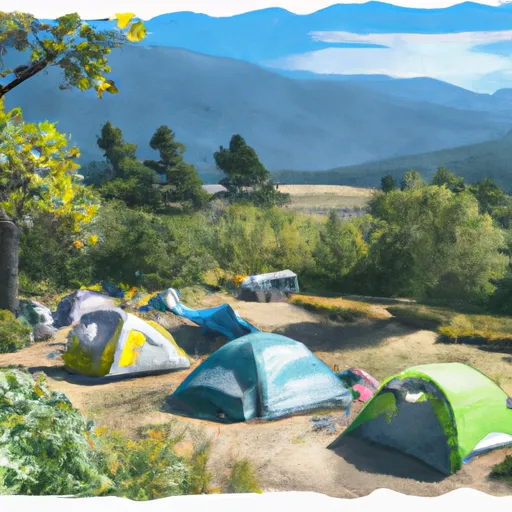
The mountain is known for its pristine alpine lakes and several creeks that originate from the melting snow. One notable creek is called Lena Creek, which flows from the eastern slopes of The Brothers and eventually joins the Hood Canal. This creek is a popular spot for fishing and camping, attracting outdoor enthusiasts from around the region.
The name "The Brothers" is said to have been given by early settlers who saw the mountain's two distinct peaks resembling the silhouettes of two brothers standing side by side. The indigenous peoples of the region hold various legends and lore about these peaks, but specific details are scarce. It's crucial to verify information from multiple sources to ensure accuracy and gain a comprehensive understanding of The Brothers and its rich history.
°F
°F
mph
Wind
%
Humidity
15-Day Weather Outlook
5-Day Hourly Forecast Detail
Regional Streamflow Levels
1,890
Cubic Feet Per Second
157
Cubic Feet Per Second
1,500
Cubic Feet Per Second
133
Cubic Feet Per Second
Area Campgrounds
| Location | Reservations | Toilets |
|---|---|---|
 Brothers Base Camp
|
||
 Lena Lake Campground
|
||
 Five Mile Camp
|
||
 Two Mile Camp
|
||
 Lena Creek
|
||
 Lena Creek Campground
|
