Summary
These peaks, named North Sister, Middle Sister, and South Sister, are part of the Cascade Volcanic Arc. South Sister, the highest of the three, stands at an impressive elevation of 10,363 feet (3,159 meters), while Middle Sister reaches 10,047 feet (3,063 meters), and North Sister stands at 10,085 feet (3,074 meters).
During the winter season, the Three Sisters receive substantial snowfall, making them a popular destination for snow sports enthusiasts. Snowpack levels can range from about 100 inches (254 cm) at the lower elevations to well over 200 inches (508 cm) at higher altitudes. This snowpack typically lasts well into the spring months, providing excellent opportunities for skiing, snowboarding, and snowshoeing. The abundant snow also contributes to the formation of several creeks and rivers that receive runoff from the mountains, including Whychus Creek, Squaw Creek, and Lost Creek.
The name "Three Sisters" originates from Native American folklore, which tells the story of three sisters who were turned into mountains by an angry deity. The legend states that the sisters were transformed in order to protect them from a volcanic eruption. The native tribes of the region hold the mountains in high regard and consider them sacred. This captivating lore adds to the allure and mystique surrounding the Three Sisters, making them not only a beautiful natural wonder but also a place rich in cultural significance.
°F
°F
mph
Wind
%
Humidity

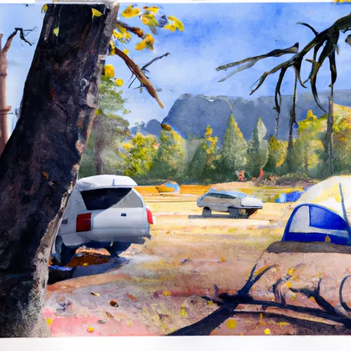 Devils Lake Campground
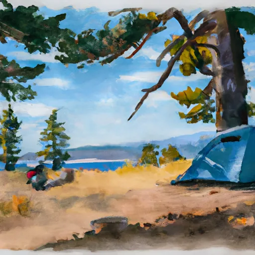 North Matthieu Lake Camp 2
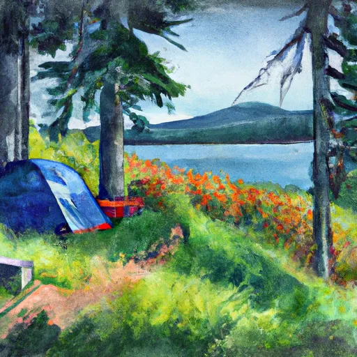 North Matthieu Lake Camp 3
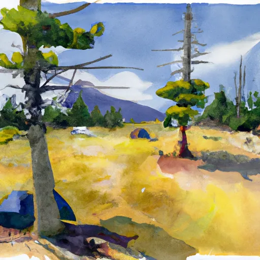 North Matthieu Lake Camp 1
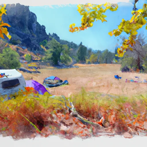 Three Creek Meadow Campground
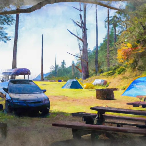 Driftwood Campground