2026-02-23T13:00:00-08:00
* WHAT...Snow expected. Total snow accumulations between 2 and 8 inches, including a 40 to 60% chance of 1 inch per hour snowfall rates. * WHERE...Holden Village, Stehekin, and Stevens Pass. * WHEN...From 10 PM this evening to 1 PM PST Monday. * IMPACTS...Winter travel conditions expected, including the Monday morning commute. * ADDITIONAL DETAILS...The highest probabilities for snowfall rates of 1"/hour will be from 2AM and 9AM Monday.
Summary
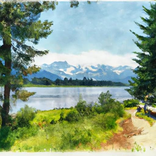
Rising to an elevation of approximately 2,100 meters (6,890 feet), Trapper Mountain offers a challenging ascent and rewards climbers with breathtaking panoramic views of the surrounding rugged terrain.
During the winter season, Trapper Mountain receives a considerable amount of snowfall, contributing to a substantial snowpack. The snowpack range can vary based on annual weather patterns, but it generally accumulates from several meters to over ten meters in depth. This makes it a popular destination for winter mountaineering and backcountry skiing enthusiasts.
Several creeks and rivers benefit from the runoff originating from Trapper Mountain. One such notable waterway is the nearby Trapper Creek, which flows through the adjacent valleys, providing a vital water source for the surrounding ecosystem. The mountain's runoff contributes to the region's overall water supply, ensuring the flourishing of plant and animal life in the area.
As for the history and lore surrounding the name of Trapper Mountain, it is rooted in the region's past. Trappers and explorers from the early 19th century often frequented this area, searching for valuable furs and establishing trade routes. The mountain likely earned its name due to its association with these early trappers, who relied on the surrounding wilderness for their livelihoods. While specific legends or lore may not be readily available, the history and naming of Trapper Mountain tie it to the adventurous spirit of the past, making it an intriguing destination for modern-day mountaineers.
°F
°F
mph
Wind
%
Humidity
15-Day Weather Outlook
5-Day Hourly Forecast Detail
Regional Streamflow Levels
2,020
Cubic Feet Per Second
167
Cubic Feet Per Second
71
Cubic Feet Per Second
379
Cubic Feet Per Second
Area Campgrounds
| Location | Reservations | Toilets |
|---|---|---|
 Trapper Lake Inlet
|
||
 Trapper Lake Outlet
|
||
 Pelton Basin
|
||
 Flat Creek
|
||
 Johannesburg Camp
|
||
 Buckner
|
