2026-02-23T13:00:00-08:00
Snow levels will range between 3,000 to 4,000 ft. * WHAT...Snow expected. Total snow accumulations 8 to 12 inches. * WHERE...Cascades of Snohomish and Northern King Counties and Cascades of Whatcom and Skagit Counties. * WHEN...From 8 PM this evening to 1 PM PST Monday. * IMPACTS...Travel could be very difficult to impossible. The hazardous conditions could impact the Monday morning commute.
Summary
With an elevation of 6,213 feet, it offers breathtaking views and is a popular destination for mountaineering enthusiasts. This peak is part of the North Cascades, a region known for its rugged beauty and challenging terrain.
During the winter season, Vesper Peak experiences a substantial snowpack, with depths reaching several feet. This makes it an ideal destination for backcountry skiing and snowboarding. The snowpack range can vary depending on weather conditions, but typically lasts from late November to early April.
Several creeks and rivers in the surrounding area receive runoff from Vesper Peak, including the South Fork Sauk River and Copper Creek. These water sources contribute to the region's ecosystem and provide important habitat for various flora and fauna.
The name Vesper Peak holds historical significance. It is believed to have been named by Albert Hale Sylvester, a prominent early mountaineer in the area. The name "vesper" refers to the evening star, Venus, often seen during the twilight hours. This name choice reflects the mountain's striking appearance, especially during sunset when it casts long shadows over the surrounding landscape.
Vesper Peak also has interesting lore associated with it. One legend tells the story of a mystical creature, said to be a shape-shifting mountain lion, that roams the peak's slopes. Local Native American tribes have passed down stories of encounters with this creature, adding an air of mystery and intrigue to the mountain.
Overall, Vesper Peak is a captivating and challenging mountaineering destination, offering stunning views, a significant snowpack during winter, and an intriguing history interwoven with legends and lore.
°F
°F
mph
Wind
%
Humidity

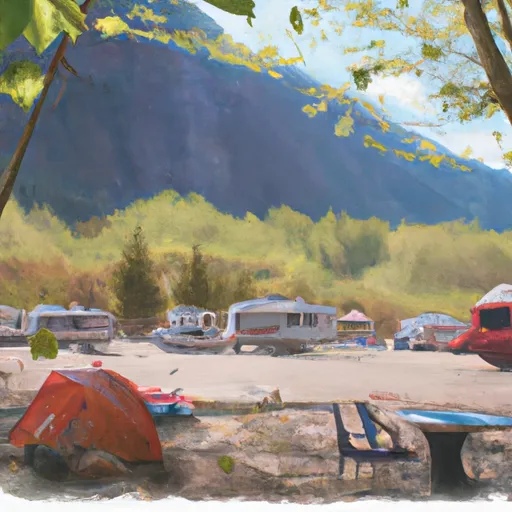 Twin Bridge Campground
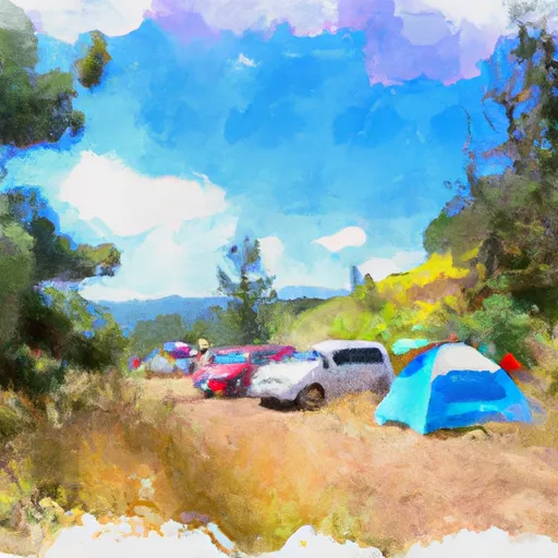 Hops Hill Campground
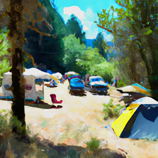 Beaver Creek Group Campground
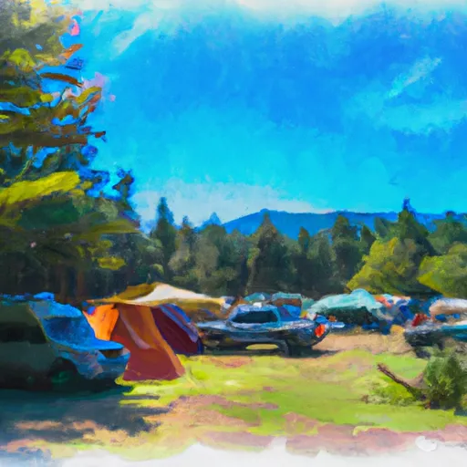 Coal Creek Group Campground
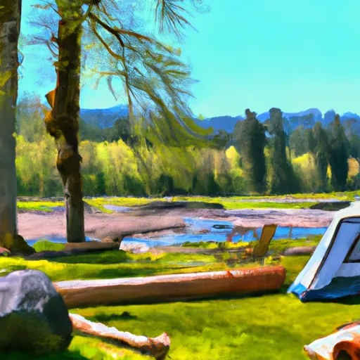 Sauk River Campground
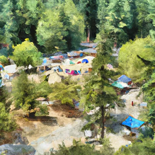 Tulalip Mill Site Group Campground