Summary
With an elevation of approximately 12,367 feet (3,769 meters), it is a popular destination for mountaineers and outdoor enthusiasts. The mountain offers stunning panoramic views of the surrounding areas, including the nearby cities of Colorado Springs and Pueblo.
During the winter season, Almagre Mountain experiences a considerable amount of snowfall. The snowpack range varies each year, but on average, it can accumulate between 100 to 200 inches (250 to 500 centimeters) of snow. This makes it an ideal location for winter sports such as skiing and snowboarding.
Several creeks and rivers benefit from the runoff originating from Almagre Mountain. These include Fourmile Creek, which runs along the eastern slope, and Fountain Creek, which receives water from the western side of the mountain. These waterways provide important resources for wildlife and contribute to the overall ecosystem of the region.
The name "Almagre" is derived from the Spanish word for "red ochre." This mountain earned its name due to the reddish hue of its slopes, caused by the presence of iron oxide minerals. As for legends or folklore surrounding Almagre Mountain, there are no specific tales widely known. Nevertheless, its majestic presence and historical significance in the Rocky Mountains make it a captivating destination for adventurers seeking to explore its natural beauty.
°F
°F
mph
Wind
%
Humidity
15-Day Weather Outlook
5-Day Hourly Forecast Detail
Regional Streamflow Levels
3
Cubic Feet Per Second
4
Cubic Feet Per Second
24
Cubic Feet Per Second
343
Cubic Feet Per Second
Area Campgrounds
| Location | Reservations | Toilets |
|---|---|---|
 Wye
Wye
|
||
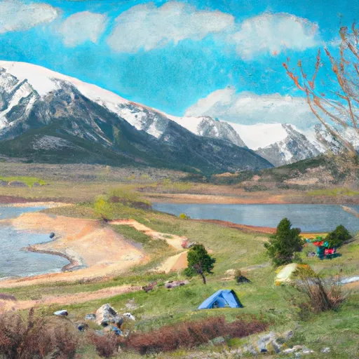 Skagware Reservoir Dispersed Camping
|
||
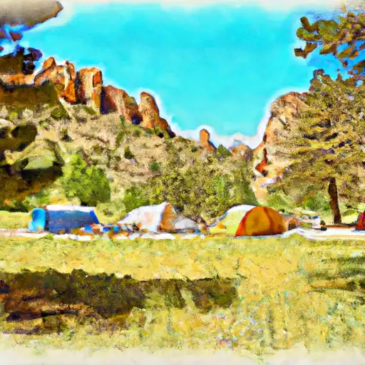 The Crags
|
||
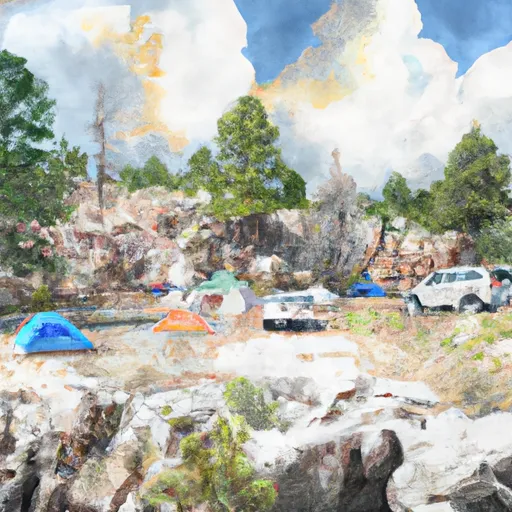 Crags Campground
|
||
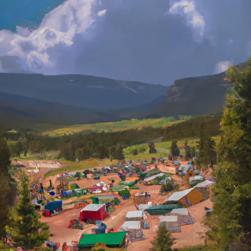 Rocky Mountain Mennonite Camp
|
||
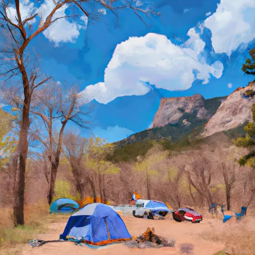 Cheyenne Mountain State Park
|

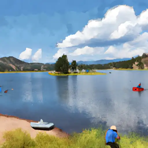 Mason Reservoir
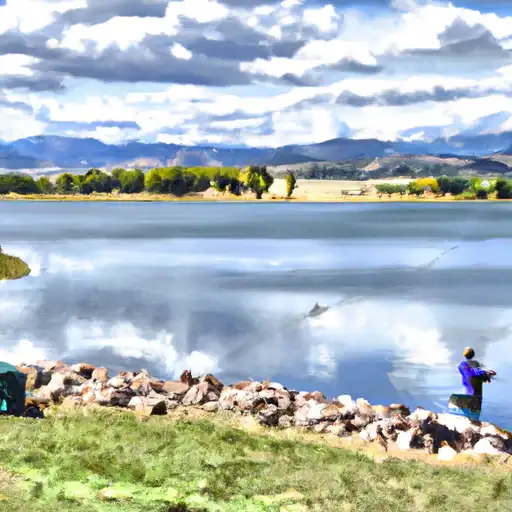 Rosemont Reservoir
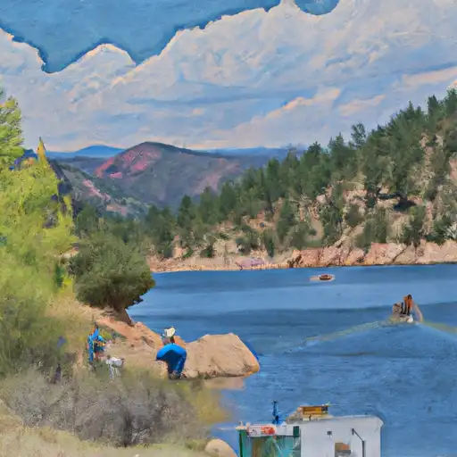 Skaguay Reservoir
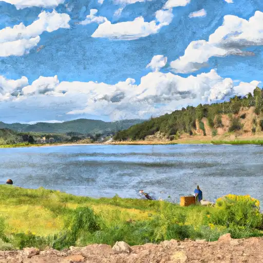 Crystal Creek Reservoir
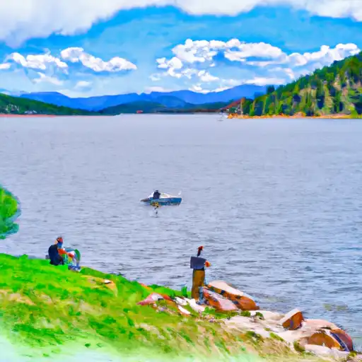 South Catamount Reservoir