Summary
It offers breathtaking panoramic views of the surrounding area, including the Great Salt Lake and Ogden Valley. The peak is popular among mountaineers and hikers alike, thanks to its accessibility and diverse range of trails catering to different skill levels.
During the winter season, Ben Lomond Peak experiences significant snowfall, making it a favored destination for winter sports enthusiasts. The snowpack range can vary depending on the year, but on average, the peak receives around 200-300 inches of snow annually. This abundance of snow provides excellent opportunities for activities such as skiing, snowboarding, and snowshoeing.
Several creeks and rivers benefit from the runoff of Ben Lomond Peak, including North Fork Ogden River, Middle Fork Ogden River, and South Fork Ogden River. These water sources contribute to the overall beauty and ecological importance of the surrounding area, supporting diverse flora and fauna.
The peak derives its name from the famous Scottish mountain, Ben Lomond, which overlooks Loch Lomond. Scottish settlers in the area named it as a tribute to their homeland. Over the years, Ben Lomond Peak has gained a reputation for its tales of mysterious lights and apparitions. Legends tell of a cursed gold mine hidden in the mountain, which has lured many treasure hunters, but none have ever found it. These intriguing stories add an element of mystique to the mountain, captivating the imagination of adventurers who explore its slopes.
°F
°F
mph
Wind
%
Humidity

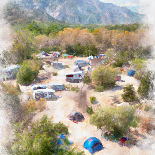
 Box Elder Campground
 Little Valley Country Store & Campground
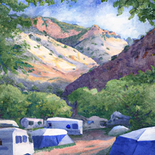
 Maples Campground
 Old Maple Campground
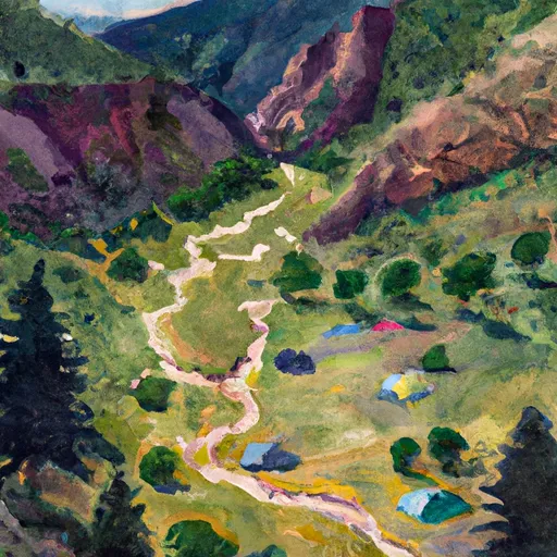
 Middle Fork Dispersed Camping
 Anderson Cove Campground