2026-02-24T17:00:00-07:00
* WHAT...West winds 35 to 50 mph with gusts up to 80 mph possible. * WHERE...The Northern Front Range Foothills, the Mosquito Range, and the Front Range Mountains including, Rocky Mountain National Park and the Indian Peaks. * WHEN...From Tuesday morning through late Tuesday afternoon. * IMPACTS...Gusty winds will blow around unsecured objects and a few power outages may result. Travel could be difficult, especially for high profile vehicles.
Summary
With an elevation of approximately 10,013 feet (3051 meters), it offers a moderately challenging hike for outdoor enthusiasts. The mountain is part of the Rocky Mountain National Park in Colorado, USA, and covers an area of about 12 square miles (31 square kilometers).
During the winter season, the snowpack on Deer Mountain can vary significantly. From November to April, the mountain receives an average snowfall ranging from 40 to 60 inches (102 to 152 cm), providing opportunities for winter sports such as skiing and snowshoeing. The melting snow contributes to the water supply of several creeks and rivers in the region, including Fall River, which originates from the eastern slopes of the mountain.
The name "Deer Mountain" is derived from the abundance of deer that roam its slopes. It is said that Native American tribes, such as the Arapaho and Ute, considered the mountain a sacred place, and deer were believed to be the spirits of their ancestors. While there are no specific legends or lore associated with Deer Mountain, its rich history as a part of Rocky Mountain National Park and its significance in Native American culture make it a fascinating destination for mountaineers and nature enthusiasts alike.
°F
°F
mph
Wind
%
Humidity

 ED
ED
 B218
B218
 B222
B222
 B225
B225
 B220
B220
 B217
B217
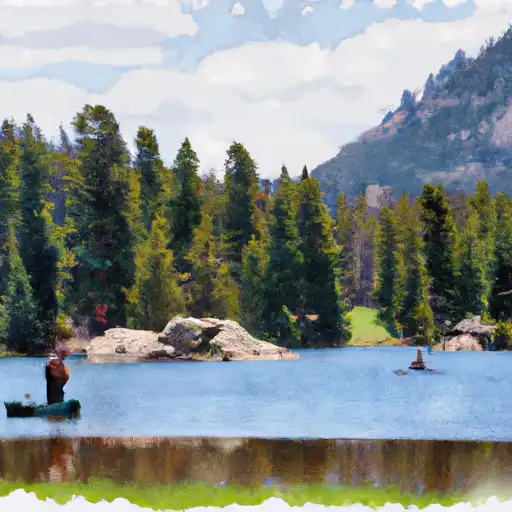
 Sprague Lake - RMNP
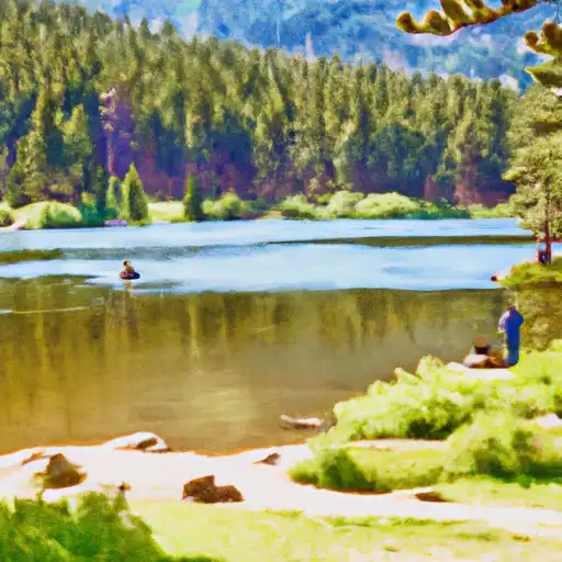
 Estes Lake
 Lily Lake - RMNP
 Fern Lake - RMNP
 Dream Lake - RMNP