Summary
With an elevation of approximately 14,159 feet (4,316 meters), it stands as one of the fourteeners in Colorado. Its name translates to "the tooth" in Spanish, which accurately describes its distinctive jagged appearance.
During the winter season, El Diente experiences varying snowpack levels, making it a popular destination for backcountry skiing and snowboarding enthusiasts. Snow depths typically range from several feet to over ten feet, offering a wide range of opportunities for winter sports. The mountain's steep slopes and rugged terrain require experienced and well-prepared mountaineers.
El Diente contributes to the runoff of several creeks and rivers in the surrounding area. Among them, the Navajo River and the Dolores River receive water from the mountain's snowmelt and provide valuable resources for the local ecosystems and communities downstream.
As for its history and folklore, El Diente holds a significant place in Native American legends. The Ute tribe believes that the mountain is home to powerful spirits and supernatural beings. These legends add to the mystique surrounding El Diente and further enhance its allure for adventurers seeking a unique and challenging mountaineering experience.
In summary, El Diente is a striking peak in the Rocky Mountains, reaching an elevation of around 14,159 feet. Its challenging slopes and varying winter snowpack attract experienced mountaineers and winter sports enthusiasts. The mountain contributes to the runoff of creeks and rivers such as the Navajo River and the Dolores River, providing important water resources. Its name and fascinating legends add to the allure of El Diente, making it a captivating destination for those seeking a thrilling mountaineering experience.
°F
°F
mph
Wind
%
Humidity
15-Day Weather Outlook
5-Day Hourly Forecast Detail
Regional Streamflow Levels
14
Cubic Feet Per Second
138
Cubic Feet Per Second
-888
Cubic Feet Per Second
173
Cubic Feet Per Second
Area Campgrounds
| Location | Reservations | Toilets |
|---|---|---|
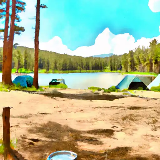 Woods Lake
|
||
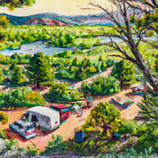 Woods Lake Campground - Norwood RD
|
||
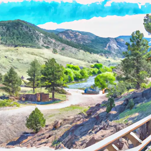 Burro Bridge
|
||
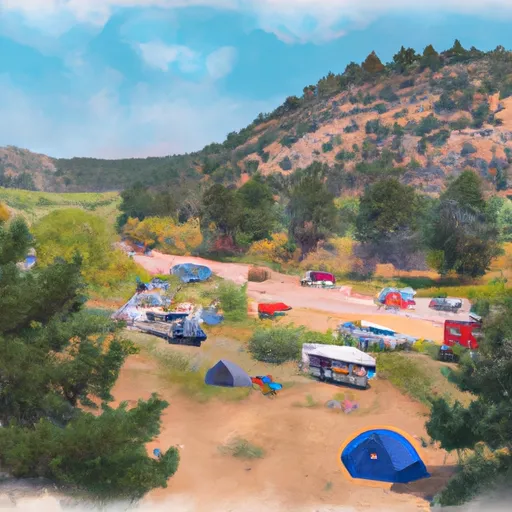 Cayton Campground
|
||
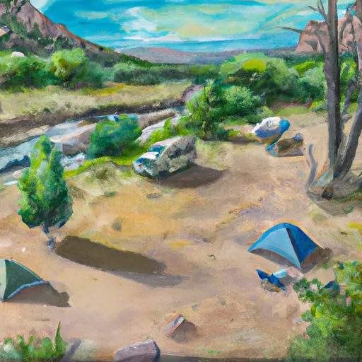 Burro Bridge Campground
|
||
 Cayton
|
