Summary
Rising to an elevation of 11,015 feet (3,357 meters), this majestic peak offers breathtaking views of the surrounding landscapes. With a sizeable prominence and rugged terrain, Gallatin Peak presents a challenging yet rewarding climb for experienced mountaineers.
During the winter season, the snowpack on Gallatin Peak can vary significantly. Snowfall accumulates from October through April, with the deepest snowpack typically occurring in February and March. Snow depths can range from several feet to over ten feet, creating a winter wonderland for backcountry skiing and snowshoeing enthusiasts.
Gallatin Peak gives rise to several creeks and rivers that receive runoff from its melting snowpack. These include the Gallatin River, which flows through Gallatin Canyon, and its tributaries such as Hyalite Creek. These waterways provide important water sources for wildlife and recreational activities such as fishing and kayaking.
The name "Gallatin" originates from the Lewis and Clark Expedition, named after Albert Gallatin, who was the Secretary of the Treasury at the time. The expedition members were impressed by his support for the expedition's goals and named various landmarks in his honor. As for lore or legends associated with Gallatin Peak, there are no specific accounts widely known. However, the mountain's stunning beauty and challenging nature undoubtedly inspire awe and admiration among those who venture to its summit.
In conclusion, Gallatin Peak is a prominent and challenging summit in the Rocky Mountains, offering breathtaking views and recreational opportunities. Its elevation, varying snowpack range, and runoff into creeks and rivers make it an important feature of the surrounding ecosystem. The history of its name ties back to the Lewis and Clark Expedition, while the mountain itself remains a source of inspiration for mountaineers and nature enthusiasts alike.
°F
°F
mph
Wind
%
Humidity
15-Day Weather Outlook
5-Day Hourly Forecast Detail
Regional Streamflow Levels
23
Cubic Feet Per Second
372
Cubic Feet Per Second
92
Cubic Feet Per Second
3
Cubic Feet Per Second
Area Campgrounds
| Location | Reservations | Toilets |
|---|---|---|
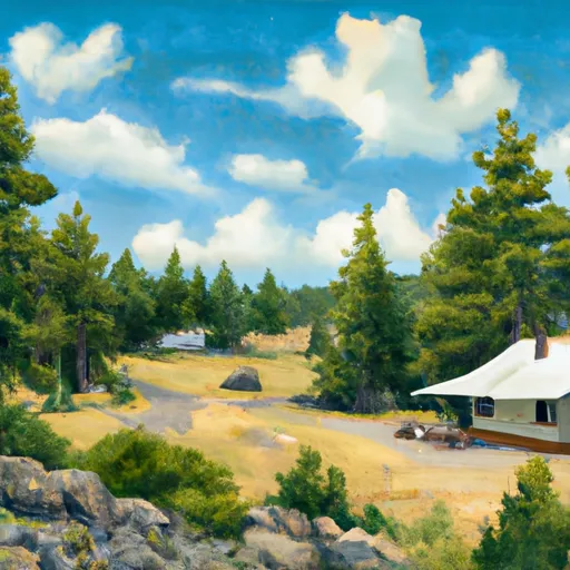 Spanish Creek Cabin
|
||
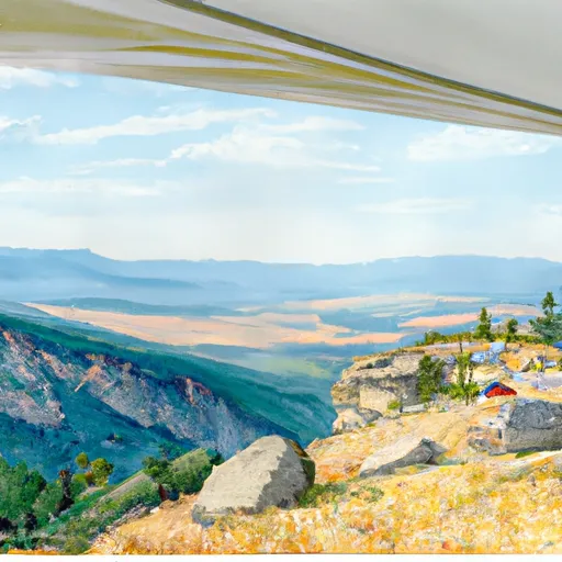 Garnet Mountain Lookout
|
||
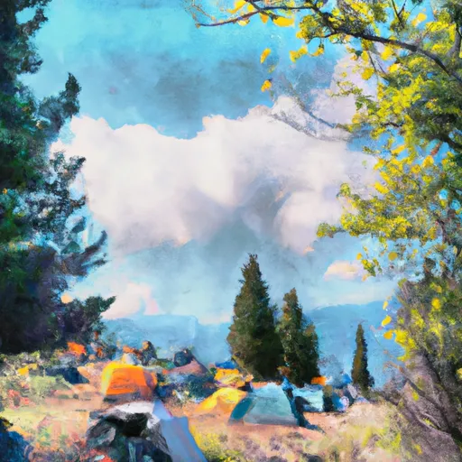 Greek Creek Campground
|
||
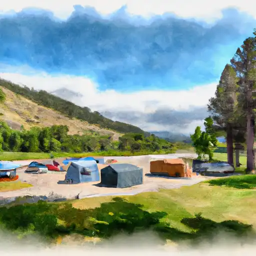 Greek Creek
|
||
 Moose Creek Group Site
|
||
 Camp
Camp
|
