Summary
With an elevation of approximately 8,300 feet, it offers a challenging yet rewarding climb for mountaineers and hikers alike. The peak is known for its breathtaking views of the surrounding valleys and the city of Salt Lake City.
During the winter season, Grandeur Peak is often covered in snow, making it a popular destination for winter sports enthusiasts. The snowpack range varies depending on the weather conditions, but on average, it can reach up to several feet in depth. This creates excellent opportunities for snowshoeing, skiing, and snowboarding.
Several creeks and rivers receive runoff from Grandeur Peak, including Mill Creek and Parleys Creek. These water sources are essential for the local ecosystem and provide a refreshing stop for hikers during their ascent. The mountain's runoff also contributes to the water supply of nearby communities.
The name "Grandeur Peak" is said to have been inspired by the majestic beauty and grandeur of the surrounding landscape. While no specific legends or lore seem to be associated with this mountain, its rich history as part of the Rocky Mountains mountain range and its significance to the local community make it a cherished landmark for outdoor enthusiasts.
°F
°F
mph
Wind
%
Humidity
15-Day Weather Outlook
5-Day Hourly Forecast Detail
Regional Streamflow Levels
10
Cubic Feet Per Second
7
Cubic Feet Per Second
66
Cubic Feet Per Second
96
Cubic Feet Per Second
Area Campgrounds
| Location | Reservations | Toilets |
|---|---|---|
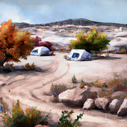 Camp Kostopulos
|
||
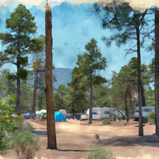 Jordan Pines Group Campground
|
||
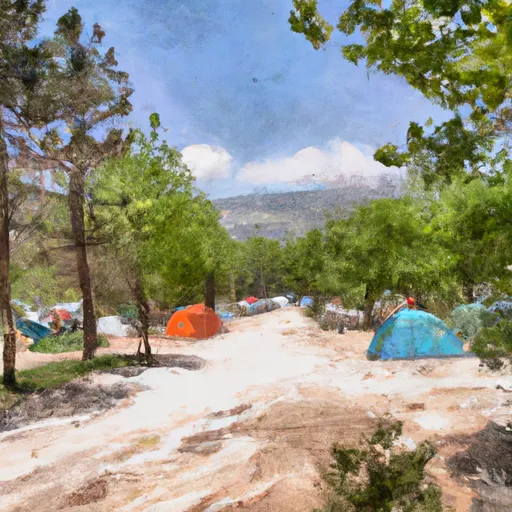 Spruces Campground
|
||
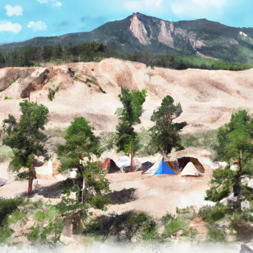 Spruces
|
||
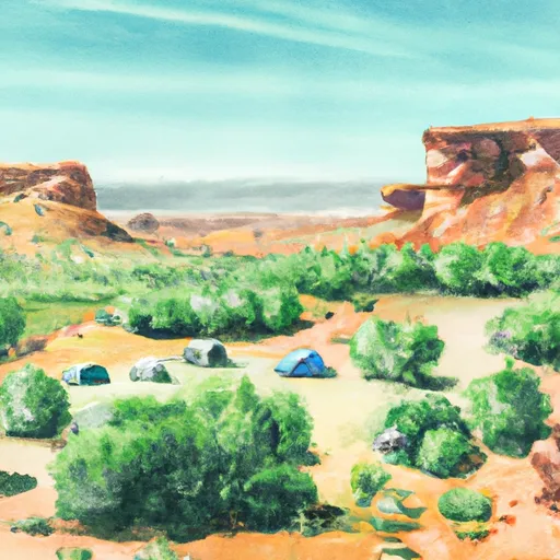 Tanners Flat Campground
|
||
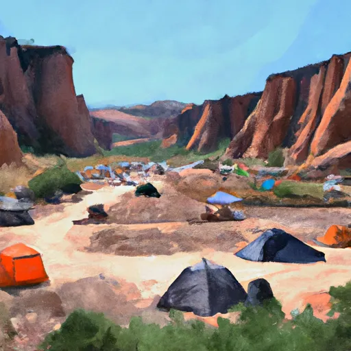 Tanners Flat
|

 Lake Florence
 Lake Lillian
 Lake Desolation
 Lake Solitude
 Silver Lake