Summary
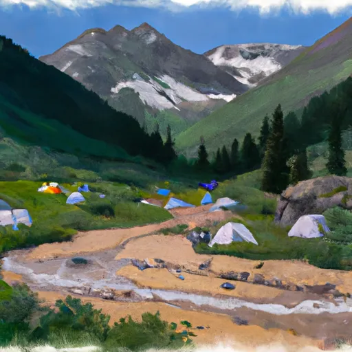
With an elevation of 14,048 feet (4,282 meters), it is one of the famous fourteeners in the state. The peak is part of the San Juan Mountains, known for their rugged beauty and challenging terrain. Handies Peak offers breathtaking panoramic views of the surrounding peaks and valleys, making it a favorite among mountaineers and hikers.
During the winter season, Handies Peak receives substantial snowfall due to its high elevation. The snowpack range can vary depending on the year and weather conditions, but it is generally abundant, making it ideal for winter sports enthusiasts. Skiing and snowshoeing are popular activities in the area during this time.
The mountain is known for its pristine creeks and rivers that are fed by the runoff from Handies Peak. These include Cinnamon Creek, Grizzly Gulch, and American Basin Creek. These waterways provide a fresh and reliable water source for the surrounding ecosystems and wildlife, making the area a haven for nature enthusiasts.
As for the name and history, Handies Peak was named after a German-American prospector named Alferd E. Hand, also known as "Handy" Hand. Hand was known for his prospecting ventures in the San Juan Mountains during the late 19th century. Legends and lore associated with Handies Peak are scarce, but the mountain's towering presence and challenging ascent have inspired awe and respect among those who have ventured to its summit.
In conclusion, Handies Peak is a majestic and challenging mountain in the Rocky Mountains mountain range. With its impressive elevation, ample snowpack during winter, and beautiful creeks and rivers that benefit from its runoff, it has become a notable destination for mountaineers and outdoor enthusiasts alike. In addition to its natural wonders, the mountain's namesake and the legends surrounding it add an intriguing layer to its history.
°F
°F
mph
Wind
%
Humidity
15-Day Weather Outlook
5-Day Hourly Forecast Detail
Regional Streamflow Levels
173
Cubic Feet Per Second
138
Cubic Feet Per Second
26
Cubic Feet Per Second
68
Cubic Feet Per Second
Area Campgrounds
| Location | Reservations | Toilets |
|---|---|---|
 Animas Forks Camp
|
||
 Cataract Gulch
|
||
 Mill Creek Rec. Site
|
||
 Mill Creek - Lake City
|
||
 Bent Creek
|
||
 Williams Creek Campground- Gunnison RD
|
