2026-02-24T17:00:00-07:00
* WHAT...West winds 35 to 50 mph with gusts up to 80 mph possible. * WHERE...The Northern Front Range Foothills, the Mosquito Range, and the Front Range Mountains including, Rocky Mountain National Park and the Indian Peaks. * WHEN...From Tuesday morning through late Tuesday afternoon. * IMPACTS...Gusty winds will blow around unsecured objects and a few power outages may result. Travel could be difficult, especially for high profile vehicles.
Summary
Standing at an elevation of 13,301 feet (4,054 meters), it offers breathtaking views of the surrounding Colorado landscape. The mountain is part of the James Peak Wilderness, encompassing an area of approximately 14,000 acres. Its rugged terrain and alpine tundra make it a popular destination for mountaineers and outdoor enthusiasts.
During the winter season, James Peak experiences a variable snowpack range. Snowfall can accumulate to depths of several feet, creating ideal conditions for winter sports such as skiing and snowboarding. The snowpack range is influenced by factors such as elevation, wind patterns, and the amount of precipitation received during the season.
Several creeks and rivers receive runoff from James Peak. One notable example is St. Mary's Glacier, located on the eastern slopes of the mountain. This glacier feeds into St. Mary's Creek, which eventually flows into Clear Creek. Clear Creek is an important water source for the Denver metropolitan area, providing drinking water and recreational opportunities for residents and visitors alike.
The name of James Peak has an interesting history. It was named after Edwin James, a botanist and geologist who accompanied Major Stephen H. Long on an expedition in 1820. Edwin James was part of the first recorded ascent of the mountain and named it in honor of himself. Over the years, James Peak has become a beloved landmark and holds significance as a part of Colorado's mountaineering heritage.
In conclusion, James Peak in the Rocky Mountains is a majestic mountain with an elevation of 13,301 feet. It offers a range of outdoor activities in both summer and winter seasons. The mountain's snowpack varies depending on factors such as elevation and precipitation. It provides runoff to various creeks and rivers, including St. Mary's Creek and Clear Creek. Named after botanist Edwin James, James Peak holds historical and cultural importance in the region.
°F
°F
mph
Wind
%
Humidity
15-Day Weather Outlook
5-Day Hourly Forecast Detail
Regional Streamflow Levels
-999
Cubic Feet Per Second
109
Cubic Feet Per Second
2
Cubic Feet Per Second
3
Cubic Feet Per Second
Area Campgrounds
| Location | Reservations | Toilets |
|---|---|---|
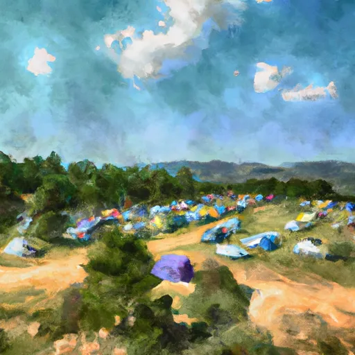 Midland Group Campground
|
||
 Robbers Roost
|
||
 Jim Creek Campground
|
||
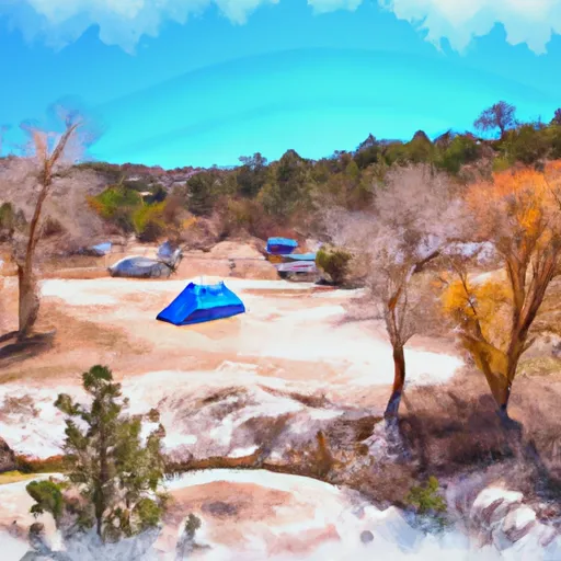 Robbers Roost Campground
|
||
 Idlewild
|
||
 Empire City RV Parking
|

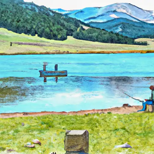 James Peak Lake
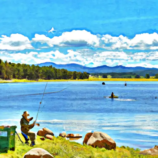 Steuart Lake
 Reynolds Lake
 Lake Caroline
 Little Echo Lake - JPWA