Summary
Standing at an elevation of approximately 11,263 feet (3,433 meters), it offers breathtaking views and serves as a popular destination for mountaineers and outdoor enthusiasts. With its striking presence and distinct shape, it is easily recognizable from miles away.
During the winter season, Lone Peak is often blanketed in snow, making it a prime location for winter sports such as skiing and snowboarding. The snowpack range varies each year depending on weather conditions, but it generally receives a significant amount of snowfall. This makes it a sought-after destination for winter recreation, drawing locals and visitors alike.
Lone Peak contributes to the water supply of the region through its melting snow, which feeds into several creeks and rivers. One notable waterway is the South Fork Little Cottonwood Creek, which receives runoff from the mountain. These water sources are crucial for the surrounding ecosystems and provide irrigation for nearby agricultural areas.
The name of Lone Peak derives from its solitary and towering stature, standing prominently among the surrounding peaks. While there are no specific legends or lore associated with the mountain, its captivating presence has inspired countless adventurers throughout history. It is always important for mountaineers to verify current and reliable information from multiple independent sources before embarking on any expedition.
°F
°F
mph
Wind
%
Humidity
15-Day Weather Outlook
5-Day Hourly Forecast Detail
Regional Streamflow Levels
25
Cubic Feet Per Second
64
Cubic Feet Per Second
66
Cubic Feet Per Second
10
Cubic Feet Per Second
Area Campgrounds
| Location | Reservations | Toilets |
|---|---|---|
 Tanners Flat Campground
|
||
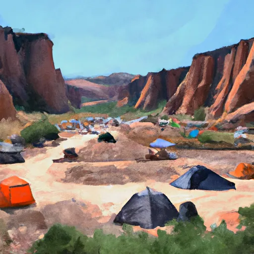 Tanners Flat
|
||
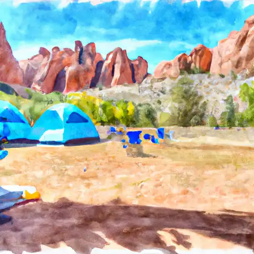 Granite Flat
|
||
 Granite Flat Campground
|
||
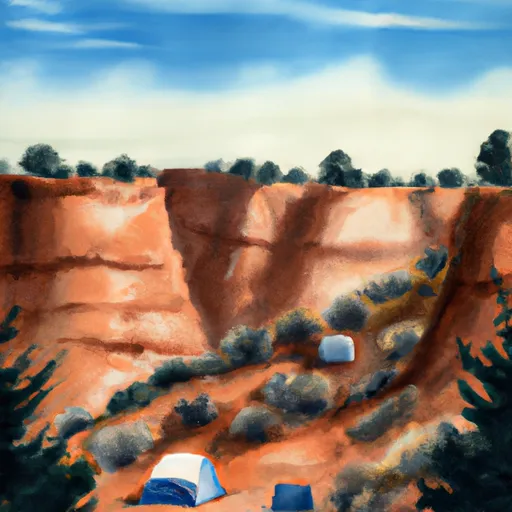 Warnick
|
||
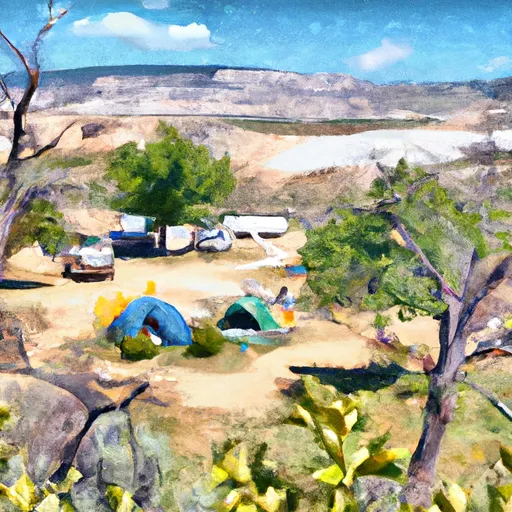 Little Mill Campground
|

 Lake Florence
 Echo Reservoir
 Lake Martha
 Lake Solitude
 Silver Lake