2026-02-24T17:00:00-07:00
* WHAT...West winds 35 to 50 mph with gusts up to 80 mph possible. * WHERE...The Northern Front Range Foothills, the Mosquito Range, and the Front Range Mountains including, Rocky Mountain National Park and the Indian Peaks. * WHEN...From Tuesday morning through late Tuesday afternoon. * IMPACTS...Gusty winds will blow around unsecured objects and a few power outages may result. Travel could be difficult, especially for high profile vehicles.
Summary
Standing at an elevation of 14,060 feet (4,285 meters), it is among the popular "14ers" in the state, attracting numerous mountaineers and hikers each year. The mountain offers breathtaking views and a challenging ascent, making it a favorite among outdoor enthusiasts.
During the winter season, Mount Bierstadt experiences significant snowfall and forms a substantial snowpack. The snowpack range can vary each year depending on weather conditions, but it generally accumulates from late fall through early spring. This makes winter mountaineering on the peak more challenging and requires proper equipment and experience.
Mount Bierstadt's snowy slopes contribute to the formation of various creeks and rivers that receive runoff from the mountain. Some notable examples include South Platte River, which is fed by Abyss Lake located on the eastern side of the mountain, and Scott Gomer Creek, which originates from the western slopes. These water sources play an important role in the local ecosystem and provide resources for surrounding wildlife and vegetation.
The mountain is named after Albert Bierstadt, a renowned German-American landscape painter from the 19th century. Bierstadt explored and painted several landscapes in the Rocky Mountains, including the peak that now bears his name. The mountain is also associated with interesting legends and lore, with some tales suggesting hidden treasures in its rugged terrain. However, these stories should be taken with a grain of salt.
In summary, Mount Bierstadt is a majestic peak in the Rocky Mountains, reaching an elevation of 14,060 feet. Its snowy slopes contribute to the formation of creeks and rivers, providing valuable runoff for the surrounding area. With its rich history and challenging ascent, Mount Bierstadt remains a popular destination for mountaineers and hikers seeking adventure and stunning views.
°F
°F
mph
Wind
%
Humidity
15-Day Weather Outlook
5-Day Hourly Forecast Detail
Regional Streamflow Levels
93
Cubic Feet Per Second
2
Cubic Feet Per Second
-999
Cubic Feet Per Second
-999
Cubic Feet Per Second
Area Campgrounds
| Location | Reservations | Toilets |
|---|---|---|
 Guanella Pass
|
||
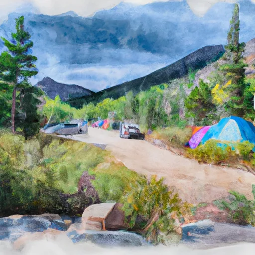 Guanella Pass Campground
|
||
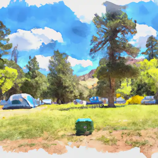 Geneva Park
|
||
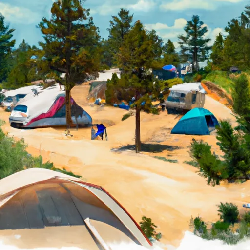 Geneva Park Campground
|
||
 Clear Lake
|
||
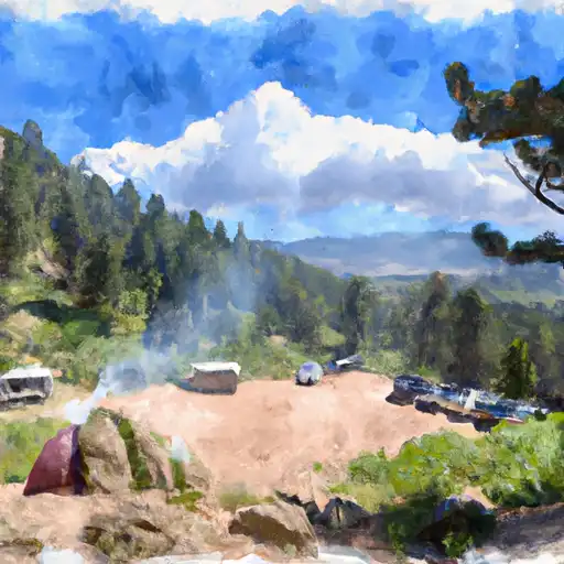 Burning Bear
|

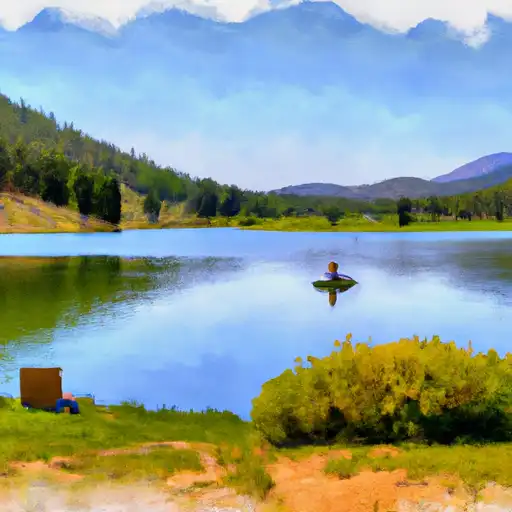 Summit Lake
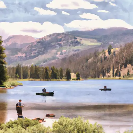 Chicago Lakes
 Beartrack Lakes
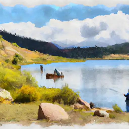 Square Top Lakes
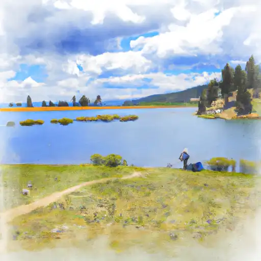 Lincoln Lake