Summary
Standing at an elevation of 10,154 feet, it offers breathtaking panoramic views of its surroundings. This significant mountain is situated in the state of Montana, USA. Mount Blackmore is known for its challenging yet rewarding climb, attracting mountaineers and outdoor enthusiasts from around the world.
During the winter season, Mount Blackmore experiences a diverse snowpack range. Due to its high elevation, the mountain receives abundant snowfall, creating ideal conditions for winter sports such as skiing and snowboarding. The snowpack can vary significantly depending on weather patterns, with depths ranging from several feet to over ten feet deep.
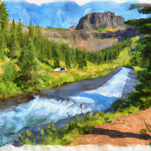
Several creeks and rivers are fed by the snowmelt and runoff from Mount Blackmore. These include the Gallatin River, which flows through the picturesque Gallatin Canyon. The Gallatin River boasts crystal-clear waters, offering excellent opportunities for fishing and other water-based activities. Additionally, numerous smaller creeks originate from the mountain, providing a vital water source for the surrounding ecosystem.
The origin of the name "Blackmore" remains unclear, with no specific historical accounts or legends associated with it. However, it is believed to be named after an early settler or explorer who may have encountered the mountain. Mount Blackmore's rich history and stunning natural beauty make it a must-visit destination for outdoor enthusiasts and nature lovers alike.
°F
°F
mph
Wind
%
Humidity
15-Day Weather Outlook
5-Day Hourly Forecast Detail
Regional Streamflow Levels
92
Cubic Feet Per Second
211
Cubic Feet Per Second
128
Cubic Feet Per Second
858
Cubic Feet Per Second
Area Campgrounds
| Location | Reservations | Toilets |
|---|---|---|
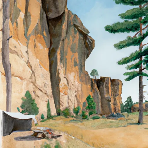 Window Rock Cabin
|
||
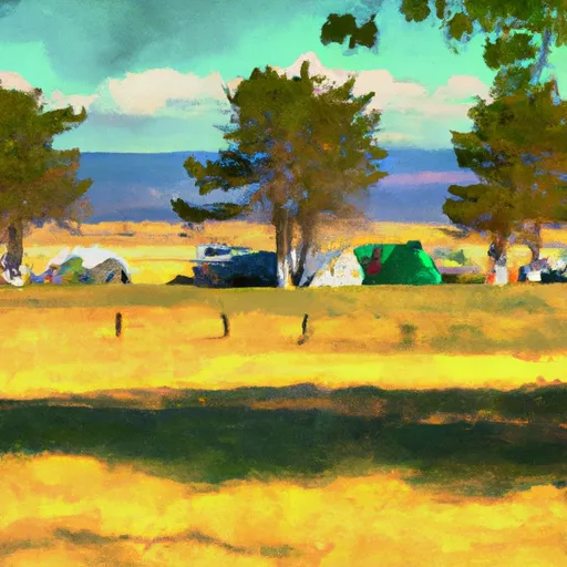 Chisholm Campground
|
||
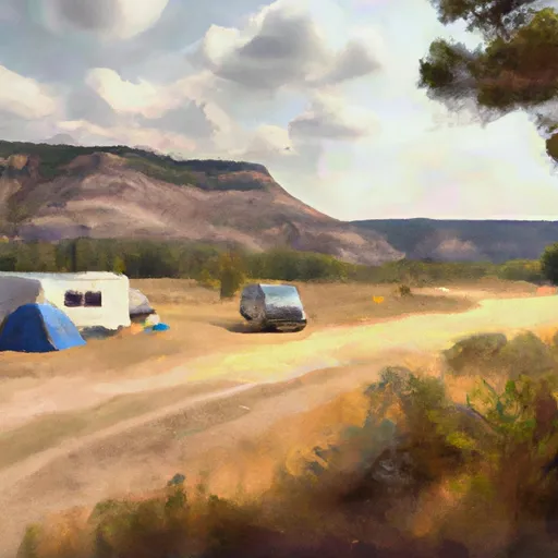 Chisholm
|
||
 Hood Creek Group Campground / Picnic Area
|
||
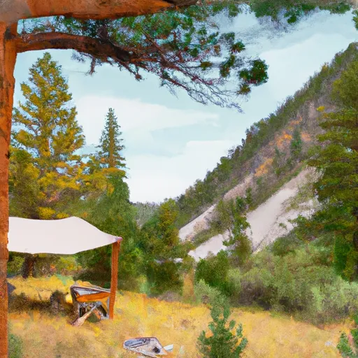 Fox Creek Cabin
|
||
 Hyalite Below Dam Camping
|
