2026-02-23T13:00:00-08:00
* WHAT...Snow expected. Total snow accumulations 8 to 12 inches. * WHERE...Cascades of Snohomish and Northern King Counties and Cascades of Whatcom and Skagit Counties. * WHEN...Until 1 PM PST Monday. * IMPACTS...Travel could be very difficult to impossible. The hazardous conditions could impact the Monday morning commute. * ADDITIONAL DETAILS...Snow levels will range between 3000 to 4000 feet.
Summary
With an elevation of 3,719 meters (12,201 feet), it stands as one of the tallest mountains in the region. Its massive size and rugged terrain make it a popular destination for mountaineers and outdoor enthusiasts seeking an exhilarating challenge.
During the winter season, Mount Cleveland receives a substantial amount of snowfall, contributing to its impressive snowpack range. The mountain's snowpack depth can vary greatly depending on the year and weather conditions, but it typically ranges from several meters to over ten meters in depth. This heavy snow accumulation adds to the difficulty of climbing the peak and requires proper mountaineering skills and equipment.
The mountain's runoff feeds into several creeks and rivers in the surrounding area, most notably the Cleveland Creek. The creek is known for its crystal-clear waters, which are sourced from the melting snow and glaciers on the mountain. This pristine waterway provides vital habitat for various aquatic species and is a popular spot for fishing and recreational activities.
As for its name, Mount Cleveland was named by surveyor James McEvoy in 1911 after Grover Cleveland, the 22nd and 24th President of the United States. The reason for this choice of name remains uncertain, and no specific lore or legends are associated with the mountain. However, its rich history and awe-inspiring beauty continue to captivate mountaineers and nature enthusiasts alike, offering a thrilling and unforgettable experience in the Pacific Ranges.
°F
°F
mph
Wind
%
Humidity
15-Day Weather Outlook
5-Day Hourly Forecast Detail
Regional Streamflow Levels
120
Cubic Feet Per Second
9
Cubic Feet Per Second
575
Cubic Feet Per Second
238
Cubic Feet Per Second
Area Campgrounds
| Location | Reservations | Toilets |
|---|---|---|
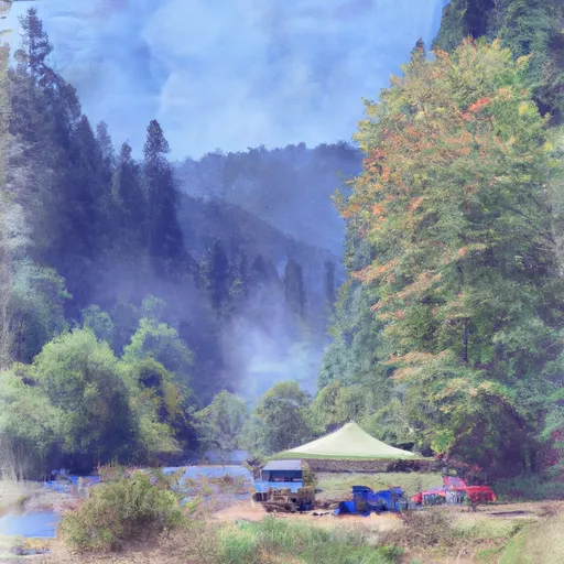 Miller River Campground
|
||
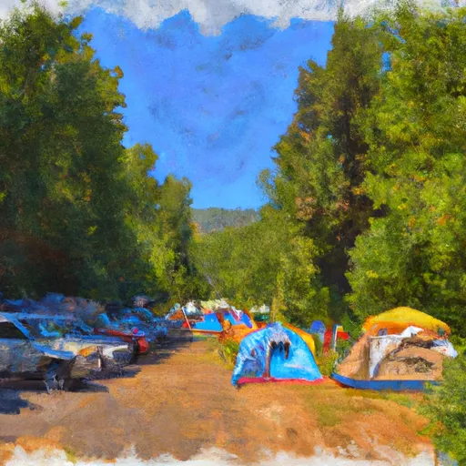 Miller River Group Campground
|
||
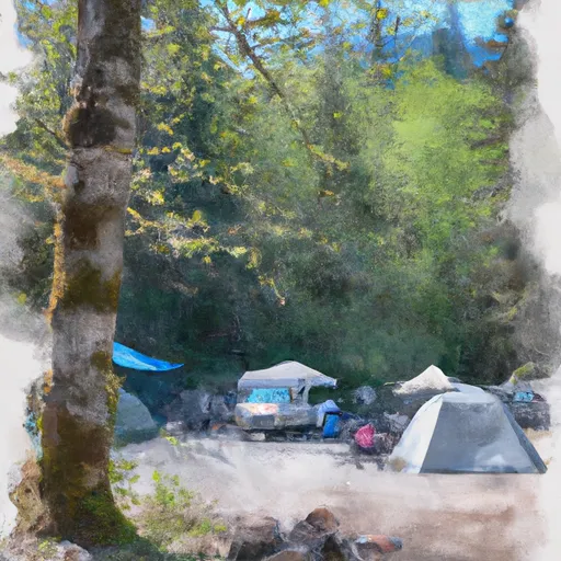 Money Creek Campground
|
||
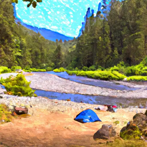 Money Creek
|
||
 Skykomish Ballpark
|
||
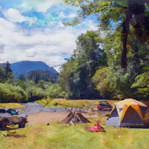 Beckler River Campground
|
