2026-02-24T17:00:00-07:00
* WHAT...West winds 35 to 50 mph with gusts up to 80 mph possible. * WHERE...The Northern Front Range Foothills, the Mosquito Range, and the Front Range Mountains including, Rocky Mountain National Park and the Indian Peaks. * WHEN...From Tuesday morning through late Tuesday afternoon. * IMPACTS...Gusty winds will blow around unsecured objects and a few power outages may result. Travel could be difficult, especially for high profile vehicles.
Summary
With an elevation of 13,850 feet, it offers breathtaking views and a challenging ascent for mountaineering enthusiasts. This majestic mountain is situated in the Front Range of the Rockies and is easily accessible from the Denver metropolitan area.
During the winter season, Mount Edwards experiences a diverse snowpack range, which varies based on weather conditions and specific years. Snowfall in the area can range from 100 to 200 inches, creating ideal conditions for winter sports such as skiing and snowshoeing. The mountain's snowpack also contributes to the water resources of nearby creeks and rivers, including Clear Creek and Chicago Creek. These waterways benefit from the mountain's runoff, providing a vital source of freshwater for the surrounding ecosystem.
While Mount Edwards may lack a rich history of name origins or specific lore, it holds significance as a challenging and rewarding summit for mountaineers. Its name pays tribute to the renowned American geologist, Arthur Edwards, who conducted extensive research and studies in the Rocky Mountains region. Mount Edwards stands as a testament to the beauty and grandeur of the Rockies, attracting adventurers seeking awe-inspiring views and a thrilling mountaineering experience.
°F
°F
mph
Wind
%
Humidity
15-Day Weather Outlook
5-Day Hourly Forecast Detail
Regional Streamflow Levels
-999
Cubic Feet Per Second
21
Cubic Feet Per Second
-999
Cubic Feet Per Second
3
Cubic Feet Per Second
Area Campgrounds
| Location | Reservations | Toilets |
|---|---|---|
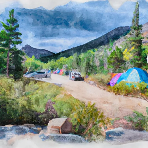 Guanella Pass Campground
|
||
 Guanella Pass
|
||
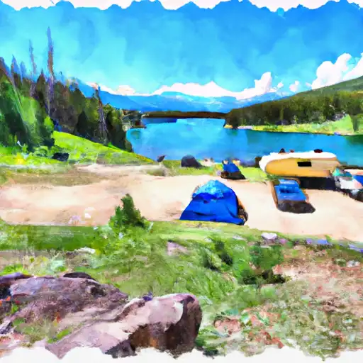 Clear Lake
|
||
 Geneva Park
|
||
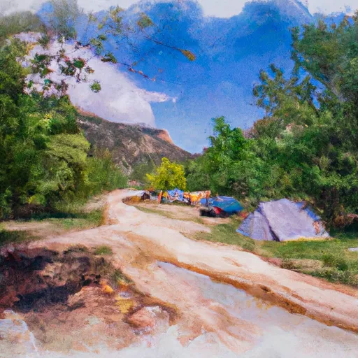 West Chicago Creek Campground
|
||
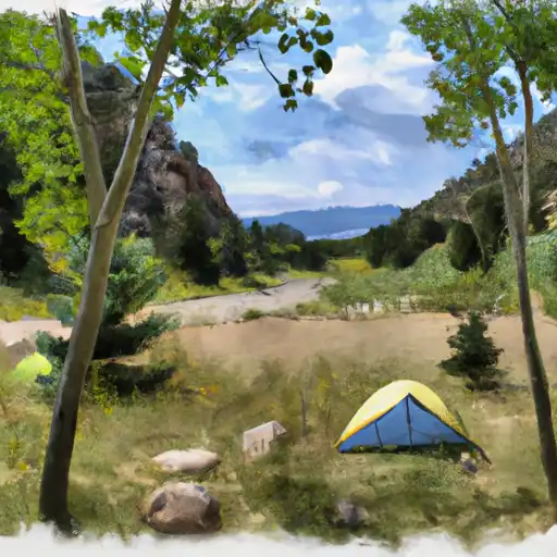 West Chicago Creek
|

 Shelf Lake
 Silver Dollar Lake
 Square Top Lakes
 Lake Edith
 Frozen Lake