2026-02-24T17:00:00-07:00
* WHAT...West winds 35 to 50 mph with gusts up to 80 mph possible. * WHERE...The Northern Front Range Foothills, the Mosquito Range, and the Front Range Mountains including, Rocky Mountain National Park and the Indian Peaks. * WHEN...From Tuesday morning through late Tuesday afternoon. * IMPACTS...Gusty winds will blow around unsecured objects and a few power outages may result. Travel could be difficult, especially for high profile vehicles.
Summary
With an elevation of approximately 14,000 feet, it stands as one of the towering summits in the region. Its majestic size and rugged terrain make it a popular destination for mountaineers and outdoor adventurers looking for a challenging climb.
During the winter season, Mount Helen is blanketed in snow, contributing to the region's impressive snowpack range. This snowpack provides a significant source of water for the surrounding area, including several creeks and rivers that receive runoff from the mountain. The abundance of snow also makes Mount Helen an ideal destination for winter sports enthusiasts, such as backcountry skiers and snowboarders.
In terms of its history, Mount Helen's name is believed to have been derived from a combination of geographical features and early explorers. It is said that the name was given due to the presence of a large rock formation resembling a person's head, which was named Helen. This interesting lore adds to the mystique and allure of the mountain, attracting visitors who are intrigued by its unique naming history.
Overall, Mount Helen in the Rocky Mountains is a remarkable peak, offering breathtaking views and challenging mountaineering opportunities. Its elevation, snowpack range, and contribution to local water sources make it a significant landmark in the region. With its intriguing name and captivating legends, Mount Helen continues to captivate the imagination of adventurers and nature enthusiasts alike.
°F
°F
mph
Wind
%
Humidity
15-Day Weather Outlook
5-Day Hourly Forecast Detail
Regional Streamflow Levels
21
Cubic Feet Per Second
21
Cubic Feet Per Second
7
Cubic Feet Per Second
8
Cubic Feet Per Second
Area Campgrounds
| Location | Reservations | Toilets |
|---|---|---|
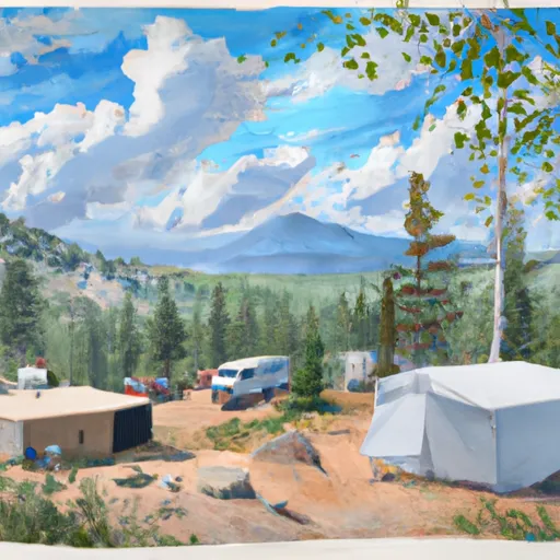 Boreas Pass Section House
|
||
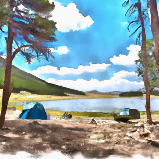 Kite Lake
|
||
 Kite Lake Campground
|
||
 Selkirk Campground
|
||
 Selkirk
|
||
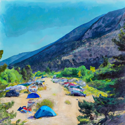 Camp Hale East Fork Group Campground
|

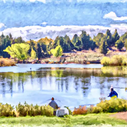 Curtain Ponds
 Officers Gulch Pond
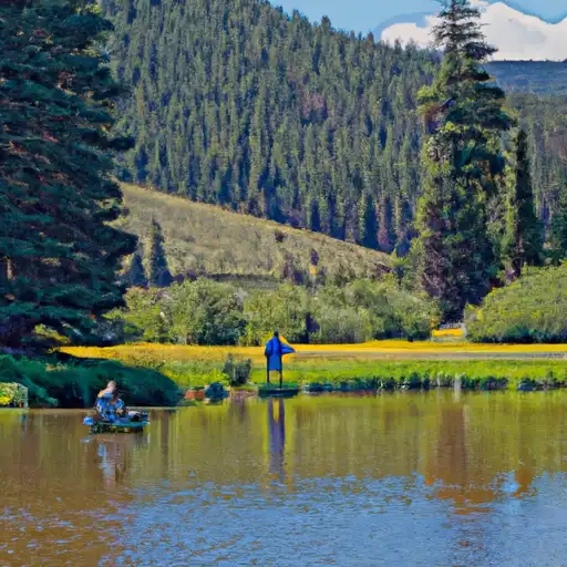 Black Lakes (Vail)
 Giberson Bay Day Use Fishing Site
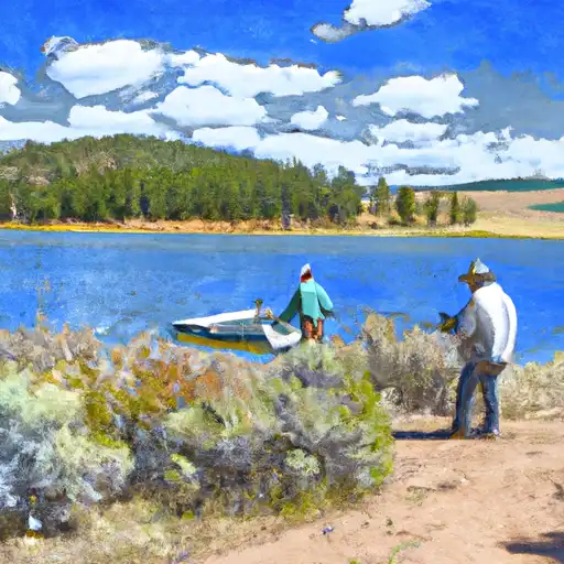 Jefferson Lake