2026-02-24T05:00:00-07:00
* WHAT...Snow and blowing snow expected. Total snow accumulations between 6 and 8 inches near pass level, with amounts in excess of a foot above pass level. * WHERE...East Glacier Park Region Zone. * WHEN...From 5 AM Monday to 5 AM MST Tuesday. * IMPACTS...Travel could be very difficult and tire chains may be required for some vehicles. Those in the backcountry should ensure they are prepared for dangerous conditions. Areas of blowing snow could significantly reduce visibility. * ADDITIONAL DETAILS...Snowfall rates look to peak between late afternoon and late evening Monday.
Summary
Standing at an elevation of 10,004 feet (3,049 meters), it offers breathtaking views of the surrounding landscape. This mountain is part of Glacier National Park in Montana, USA, and is known for its impressive size and rugged terrain.
During the winter season, Mount Merritt experiences a significant snowpack range. The average snowfall in the area ranges from 150 to 250 inches (380 to 640 cm), creating ideal conditions for winter activities such as skiing and snowboarding. The snowpack also contributes to the pristine beauty of the mountain, making it a picturesque sight for nature enthusiasts and photographers.
Mount Merritt is surrounded by a network of creeks and rivers that receive runoff from its slopes. One notable creek that benefits from this runoff is Swiftcurrent Creek, known for its crystal-clear waters and abundant wildlife. These water sources not only provide habitat for various species but also add to the overall allure of the mountain, attracting outdoor enthusiasts and adventurers.
While the origins of the name "Mount Merritt" are unclear, it is believed to be named after Clinton Hart Merriam, an influential American zoologist and conservationist. The mountain holds a special place in the history of Glacier National Park and is often associated with fascinating lore and legends. Exploring the legends and stories surrounding Mount Merritt adds an element of intrigue to the already captivating natural beauty of the area.
°F
°F
mph
Wind
%
Humidity
15-Day Weather Outlook
5-Day Hourly Forecast Detail
Regional Streamflow Levels
336
Cubic Feet Per Second
175
Cubic Feet Per Second
113
Cubic Feet Per Second
29
Cubic Feet Per Second
Area Campgrounds
| Location | Reservations | Toilets |
|---|---|---|
 Mokowanis Lake
|
||
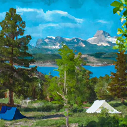 Head Glenns Lake
|
||
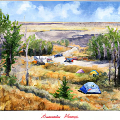 Mokowanis Junction
|
||
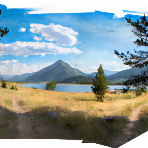 Head Elizabeth Lake
|
||
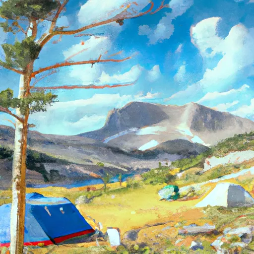 Helen Lake
|
||
 Foot Glenns Lake
|
