Summary
With an elevation of 2,428 meters (7,966 feet), it stands tall as one of the highest mountains in the region. Covering an area of approximately 550 square kilometers (212 square miles), Mount Olympus offers breathtaking views and thrilling mountaineering opportunities.
During the winter season, Mount Olympus receives heavy snowfall, resulting in a substantial snowpack. Snow depths can range from several meters to over 10 meters (33 feet) in some areas, making it a popular destination for winter sports enthusiasts and backcountry adventurers. This abundant snowpack also contributes to the formation of glaciers on the mountain, creating stunning icy landscapes.
Several creeks and rivers are fed by the runoff from Mount Olympus, including the Hoh River, Queets River, and Elwha River. These waterways are known for their pristine beauty and provide important habitats for various wildlife species. The mountain's runoff contributes to the formation of lush forests and vibrant ecosystems in the surrounding areas.
The name "Mount Olympus" was given to the peak by British explorer Captain Vancouver during his expedition in 1792. He named it after the legendary home of the gods in Greek mythology. This choice of name reflects the awe-inspiring majesty and grandeur that Mount Olympus exudes. Over the years, the mountain has also been associated with fascinating lore and legends, adding to its allure.
°F
°F
mph
Wind
%
Humidity
15-Day Weather Outlook
5-Day Hourly Forecast Detail
Regional Streamflow Levels
2,280
Cubic Feet Per Second
592
Cubic Feet Per Second
1,220
Cubic Feet Per Second
1,140
Cubic Feet Per Second
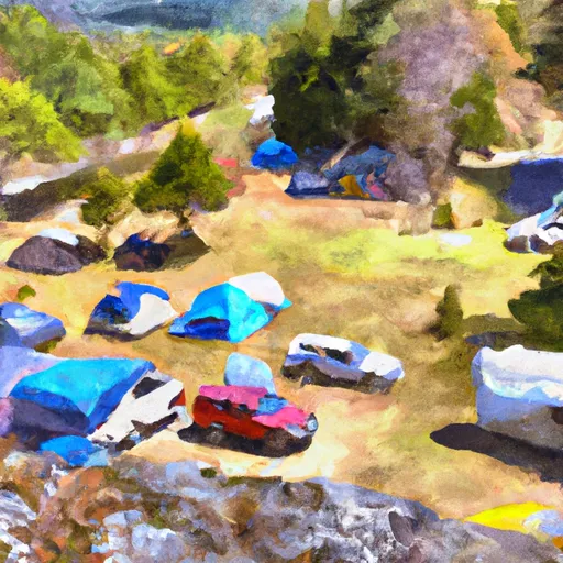
Area Campgrounds
| Location | Reservations | Toilets |
|---|---|---|
 Elk Lake Campground
|
||
 13.3 Miles Camp
|
||
 13.2 Miles Camp
|
||
 12.4 Miles Camp
|
||
 Lewis Campsite
|
||
 Olympus Ranger Station Camp
|
