2026-02-25T17:00:00-07:00
* WHAT...Heavy snow. Total snow accumulations 16 to 24 inches. Locally higher amounts up to 3 feet possible in the Tetons. West wind frequently gusting 25 to 35 mph Tuesday, increasing to 35 to 45 mph Wednesday. * WHERE...Teton and Gros Ventre Mountains and Salt River and Wyoming Ranges. * WHEN...From 5 AM Tuesday to 5 PM MST Wednesday. * IMPACTS...Travel could be very difficult. The hazardous conditions could impact the Tuesday evening and Wednesday morning commutes. * ADDITIONAL DETAILS...Snowfall totals toward the southern half of the Salt River Range will range from 4 to 10 inches.
Summary
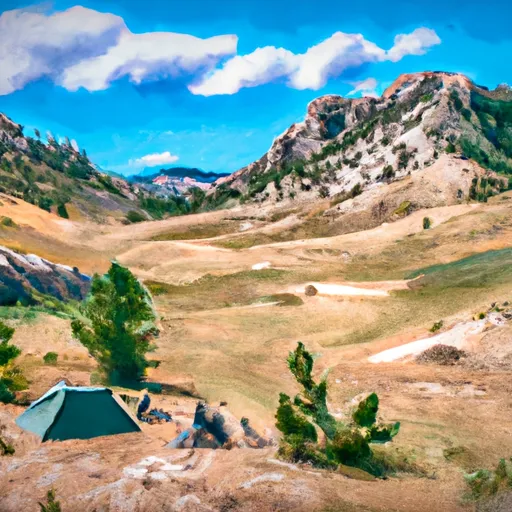
With an elevation of approximately 13,058 feet (3,980 meters), it stands as one of the prominent peaks in the region. This massive mountain is home to vast areas of rugged terrain, making it a popular destination for mountaineers and outdoor enthusiasts.
During the winter season, Mount Owen experiences a significant snowpack range. The accumulation of snow on the mountain can vary greatly, with the depth typically ranging from several feet to over ten feet in some areas. This makes it a desirable location for winter sports such as skiing and snowboarding. The snowpack provides excellent opportunities for backcountry skiing and other winter activities.
Mount Owen is also known for its numerous creeks and rivers that receive runoff from its snow-covered slopes. These waterways, including the Gros Ventre River, Crystal Creek, and others, are essential for the local ecosystem and offer picturesque scenes for visitors. The melting snow from the mountain contributes to the water flow in these creeks and rivers, creating an abundant water supply for wildlife and surrounding areas.
Regarding the history of the name and interesting lore or legends associated with Mount Owen, it is important to consult multiple independent sources for accurate information.
°F
°F
mph
Wind
%
Humidity
15-Day Weather Outlook
5-Day Hourly Forecast Detail
Regional Streamflow Levels
429
Cubic Feet Per Second
372
Cubic Feet Per Second
54
Cubic Feet Per Second
55
Cubic Feet Per Second
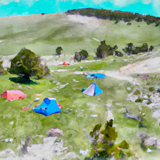
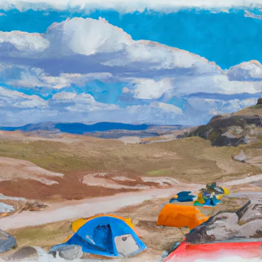
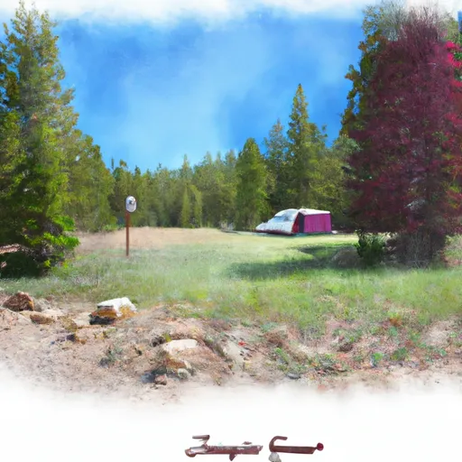
Area Campgrounds
| Location | Reservations | Toilets |
|---|---|---|
 Corbett High Camp
|
||
 Moraines
|
||
 Lower Saddle
|
||
 Caves
Caves
|
||
 Garnet Meadows
|
||
 Platform Campsites
|
