2026-02-25T17:00:00-07:00
* WHAT...Periods of heavy snow expected. Total snow accumulations between 10 and 20 inches, greatest on southwest and west facing slopes, including the mountains around Cooke City. Winds could gust as high as 60 mph. * WHERE...Absaroka/Beartooth Mountains. * WHEN...From 11 PM this evening to 5 PM MST Wednesday. * IMPACTS...Recreation in the high country will be impacted by heavy accumulating snow. Higher and more exposed areas will see strong winds, resulting in significant blowing and drifting snow. * ADDITIONAL DETAILS...Strong winds and snow will likely increase avalanche danger.
Summary
Standing tall at an impressive elevation of 10,852 feet, it offers breathtaking panoramic views of the surrounding landscape. This majestic mountain is known for its notable size, with a summit ridge that spans over a mile in length. Mount Rearguard is a popular destination for mountaineers and outdoor enthusiasts who seek thrilling adventures and stunning vistas.
During the winter season, Mount Rearguard experiences varying snowpack ranges, making it an appealing destination for winter sports enthusiasts. Snowfall on the mountain can range from moderate to heavy, creating ideal conditions for activities such as skiing, snowboarding, and snowshoeing. The snowpack also contributes to the mountain's ecosystem, providing essential water sources for creeks and rivers that flow from its slopes.
One such river that receives runoff from Mount Rearguard is the picturesque Rearguard Falls Creek. This creek is known for its crystal-clear waters and is a popular spot for fishing and wildlife observation. The mountain's name, Rearguard, has an interesting historical significance. It is believed to have been named by the early explorers who considered it the "rear guard" of the surrounding mountain range due to its prominent position. The lore and legends surrounding Mount Rearguard add to its mystique, making it an intriguing and captivating destination for adventurers and nature enthusiasts alike.
°F
°F
mph
Wind
%
Humidity

 M-K Campground
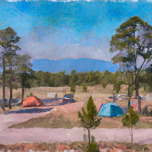 Limber Pine Campground
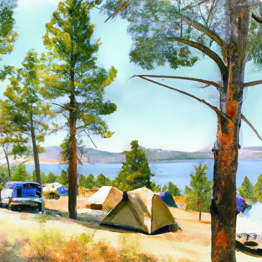 Greenough Lake Campground
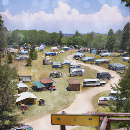 Parkside Campground and Group Campsites
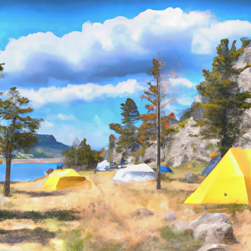 Beartooth Lake Campground
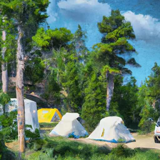 Basin Campground
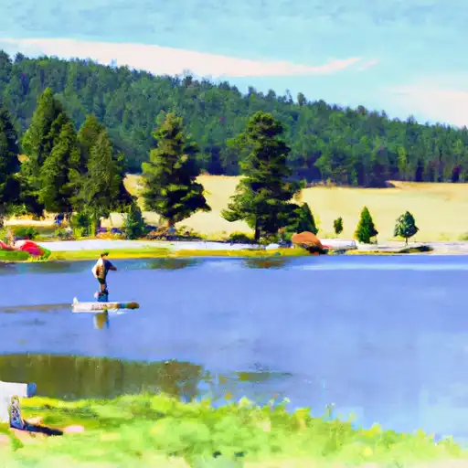 Albino Lake
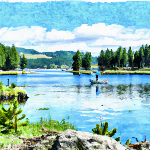 Bowback Lake
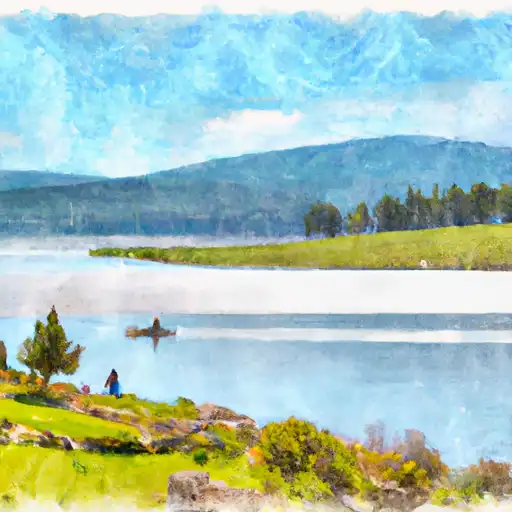 Dude Lake
 Basin Creek Lake