2026-02-24T17:00:00-07:00
* WHAT...West winds 35 to 50 mph with gusts up to 80 mph possible. * WHERE...The Northern Front Range Foothills, the Mosquito Range, and the Front Range Mountains including, Rocky Mountain National Park and the Indian Peaks. * WHEN...From Tuesday morning through late Tuesday afternoon. * IMPACTS...Gusty winds will blow around unsecured objects and a few power outages may result. Travel could be difficult, especially for high profile vehicles.
Summary
With an elevation of 6,863 feet (2,091 meters), it offers outdoor enthusiasts a challenging and rewarding hiking experience. The mountain is part of the Boulder Mountain Park, providing visitors with stunning views of Boulder and the surrounding area.
During the winter season, Mount Sanitas experiences varying snowpack levels. The range typically receives an average of 90 inches (230 cm) of snow each year, with the snowpack depth varying throughout the winter months. This makes the mountain popular among winter sports enthusiasts, such as backcountry skiers and snowshoers.
Several creeks and rivers benefit from the runoff of Mount Sanitas. Sunshine Creek, located on the eastern slopes of the mountain, is one such example. This creek receives water from melting snow and provides a refreshing and picturesque destination for hikers.
The name "Sanitas" is derived from the Latin word for "health" or "healing." The mountain got its name in the late 19th century, when a sanitarium was established in the area. The sanitarium was renowned for its healing properties, attracting visitors seeking health treatments. Today, Mount Sanitas remains a popular destination for outdoor enthusiasts, offering not only physical challenges but also a connection to the mountain's rich history and lore.
°F
°F
mph
Wind
%
Humidity
15-Day Weather Outlook
5-Day Hourly Forecast Detail
Regional Streamflow Levels
1,010
Cubic Feet Per Second
48
Cubic Feet Per Second
3
Cubic Feet Per Second
-999
Cubic Feet Per Second
Area Campgrounds
| Location | Reservations | Toilets |
|---|---|---|
 Camp Patiya
|
||
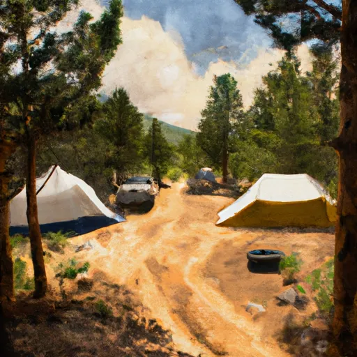 Gordon Gulch Dispersed Camping Area
|
||
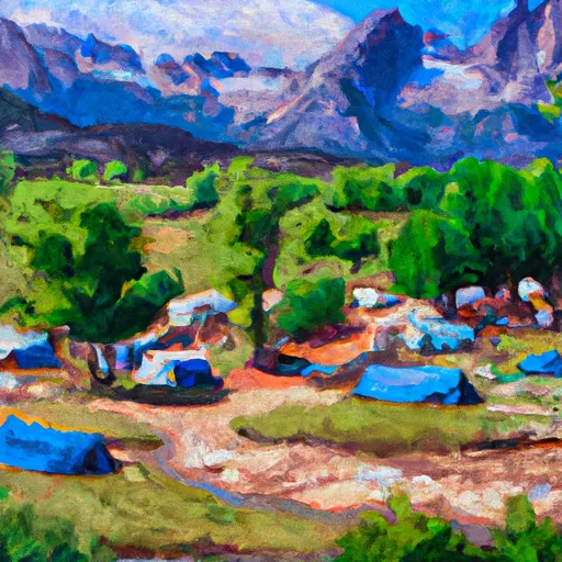 Glacier View Ranch
|
||
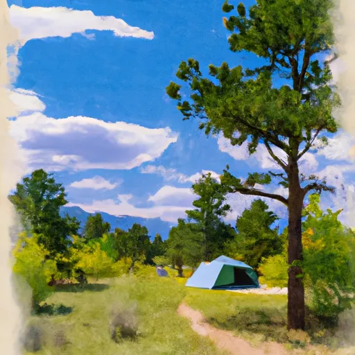 West Magnolia
|

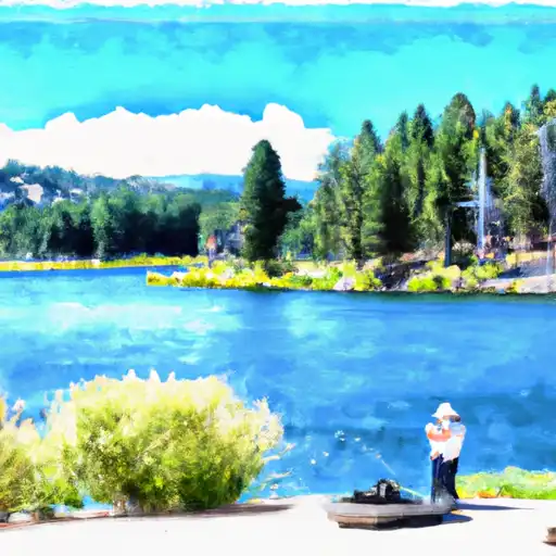 Wonderland Lake
 Cottonwood Lake (Pearl Parkway Boulder)
 KOA Lake
 Thunderbird Lake
 Boulder Reservoir