Summary
Standing tall at an elevation of around 10,308 feet, it offers breathtaking panoramic views of the surrounding wilderness. This majestic mountain is situated in the state of Colorado, near the border of Park and Lake counties.
During the winter season, Mount Sheridan experiences a varied snowpack range. Snowfall can begin as early as October and continue through April, with accumulation levels ranging from several inches to several feet depending on the year. This makes it an attractive destination for avid backcountry skiers and snowshoers, who can explore the mountain's slopes and enjoy the deep powder during the winter months.
Mount Sheridan also serves as a significant water source for the region, as various creeks and rivers receive runoff from its melting snow. Clear Creek, a tributary of the South Platte River, is one such waterway that benefits from the mountain's snowmelt. This ensures a steady flow of fresh water, contributing to the vitality of the surrounding ecosystem.
While the origin of the name "Sheridan" for this mountain remains unclear, there is an intriguing lore associated with it. According to local legends, the peak is named after General Philip Sheridan, a renowned Union Army officer during the American Civil War. It is said that he camped near the mountain during the war, leaving his mark on the area and earning the honor of having the peak named after him. However, the accuracy of this tale is difficult to confirm, as historical records on the naming of the mountain are scarce.
In conclusion, Mount Sheridan is a captivating mountain in the Rocky Mountains known for its impressive elevation, snowy winter seasons, and contribution to the water systems of the region. While its name may be shrouded in mystery, the allure of this peak lies in its stunning natural beauty and the adventures it offers to mountaineers and outdoor enthusiasts.
°F
°F
mph
Wind
%
Humidity
15-Day Weather Outlook
5-Day Hourly Forecast Detail
Regional Streamflow Levels
8
Cubic Feet Per Second
21
Cubic Feet Per Second
3
Cubic Feet Per Second
73
Cubic Feet Per Second
Area Campgrounds
| Location | Reservations | Toilets |
|---|---|---|
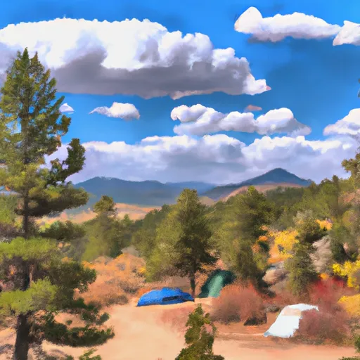 Fourmile
|
||
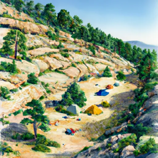 Horseshoe
|
||
 Kite Lake Campground
|
||
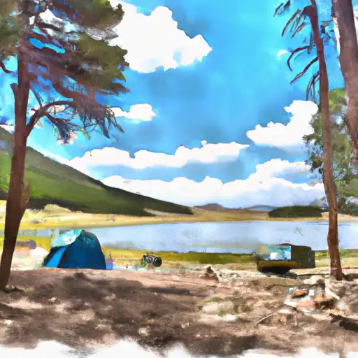 Kite Lake
|
||
 Weston Pass
|
||
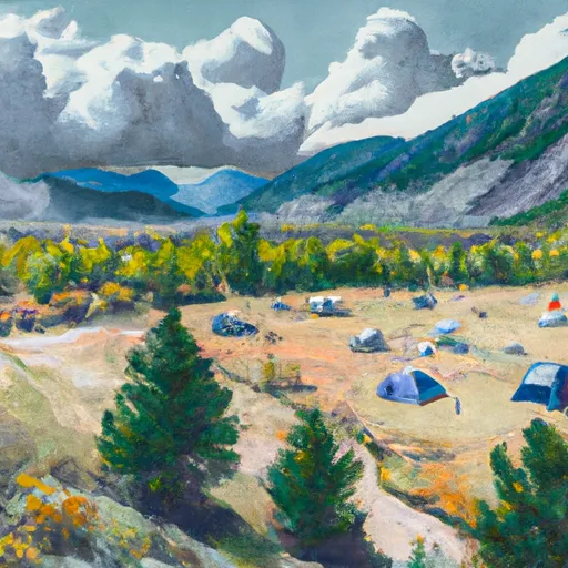 Weston Pass Campground
|

 Crystal Lake Fishing Site
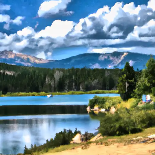 Crystal Lakes
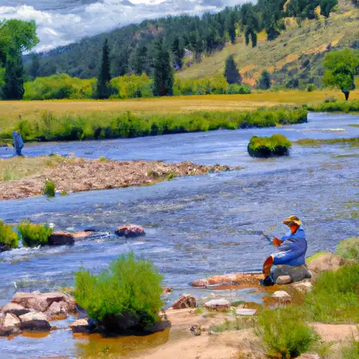 Rich Creek
 Abe Lee Fishing Site
 Sunnyside Fishing Site