2026-02-24T17:00:00-07:00
* WHAT...West winds 35 to 50 mph with gusts up to 80 mph possible. * WHERE...The Northern Front Range Foothills, the Mosquito Range, and the Front Range Mountains including, Rocky Mountain National Park and the Indian Peaks. * WHEN...From Tuesday morning through late Tuesday afternoon. * IMPACTS...Gusty winds will blow around unsecured objects and a few power outages may result. Travel could be difficult, especially for high profile vehicles.
Summary
Standing at an elevation of approximately 13,240 feet, it offers breathtaking panoramic views of the surrounding Colorado landscape. This majestic mountain is situated in the Arapaho National Forest, near the Loveland Pass, which makes it easily accessible for mountaineers and hikers alike.
During the winter season, Mount Sniktau experiences a diverse snowpack range due to its high elevation. Snowfall varies from year to year, but on average, it receives around 300 inches of snow annually. This makes it an attractive destination for winter sports enthusiasts seeking thrilling skiing and snowboarding adventures. The snowpack on the mountain typically persists well into spring, providing ample opportunities for outdoor activities.
Mount Sniktau's snowmelt and runoff contribute to the formation of several creeks and rivers in the area. Clear Creek, a popular waterway for fishing and whitewater rafting, is one such recipient of the mountain's runoff. The crystal-clear waters of Clear Creek are fed by numerous tributaries originating from the melting snow on Mount Sniktau's slopes, creating a thriving ecosystem.
The name "Sniktau" has an interesting history. Derived from the Ute Native American language, its meaning is often interpreted as "elephant," "nose," or "snout." The mountain's name may refer to the distinctive shape of its summit or its resemblance to an elephant's trunk. Additionally, local legends and lore surround Mount Sniktau, adding an air of mystery to its allure. However, it is important to verify these stories across multiple independent sources to ensure accuracy and authenticity.
°F
°F
mph
Wind
%
Humidity
15-Day Weather Outlook
5-Day Hourly Forecast Detail
Regional Streamflow Levels
3
Cubic Feet Per Second
-999
Cubic Feet Per Second
2
Cubic Feet Per Second
-999
Cubic Feet Per Second
Area Campgrounds
| Location | Reservations | Toilets |
|---|---|---|
 Mizpah Campground
|
||
 Mizpah
|
||
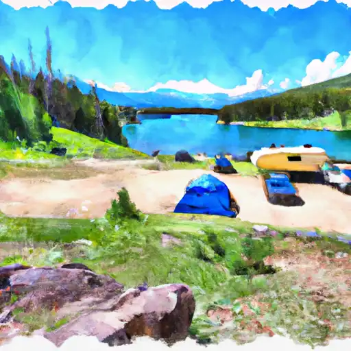 Clear Lake
|
||
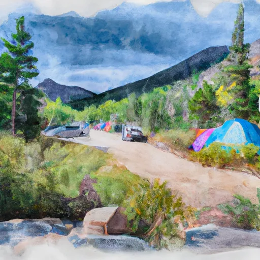 Guanella Pass Campground
|
||
 Guanella Pass
|
||
 Georgetown Lake
|

 Hassell Lake
 Shelf Lake
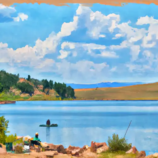 Murray Lake
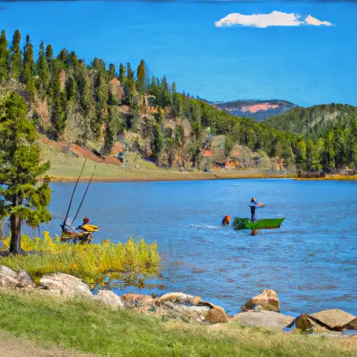 Silver Dollar Lake
 Square Top Lakes