2026-02-24T17:00:00-07:00
* WHAT...West winds 35 to 50 mph with gusts up to 80 mph possible. * WHERE...The Northern Front Range Foothills, the Mosquito Range, and the Front Range Mountains including, Rocky Mountain National Park and the Indian Peaks. * WHEN...From Tuesday morning through late Tuesday afternoon. * IMPACTS...Gusty winds will blow around unsecured objects and a few power outages may result. Travel could be difficult, especially for high profile vehicles.
Summary
With an elevation of approximately 12,979 feet, it stands tall amongst its neighboring peaks. The mountain offers breathtaking views of the surrounding landscape and is a popular destination for mountaineers and hikers alike.
During the winter season, Mount Toll experiences a significant snowpack range. This accumulation of snow provides excellent opportunities for winter sports enthusiasts, such as skiing and snowboarding. The heavy snowfall also contributes to the water sources in the area, including several creeks and rivers that receive runoff from the mountain. These waterways, such as Boulder Creek and St. Vrain Creek, are integral to the local ecosystem and provide vital resources for nearby communities.
The name "Mount Toll" has an intriguing history. It is named after Roger Toll, an American geologist and explorer who conducted important research in the Rocky Mountains during the late 19th and early 20th centuries. The naming of the mountain after Toll pays homage to his contributions to the understanding of the region's geology and natural history.
While no specific legends or lore are associated with Mount Toll, its majestic presence and challenging terrain have undoubtedly inspired awe and admiration among those who have ventured to its summit. It remains a popular destination for outdoor enthusiasts seeking adventure and exploration in the heart of the Rocky Mountains.
°F
°F
mph
Wind
%
Humidity

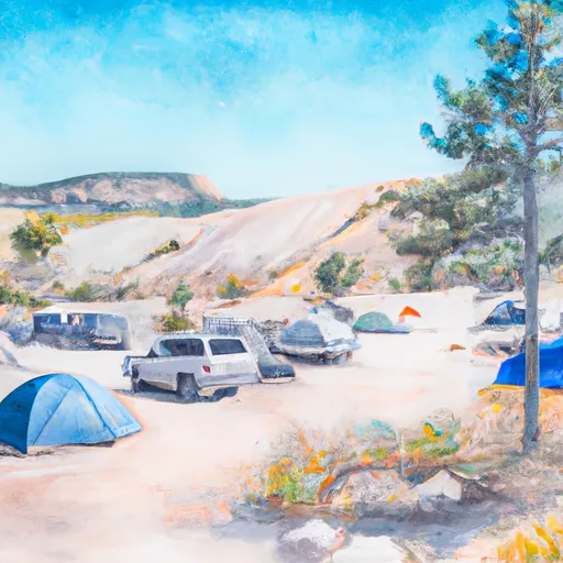 Site H4
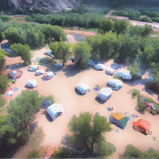 Site W8
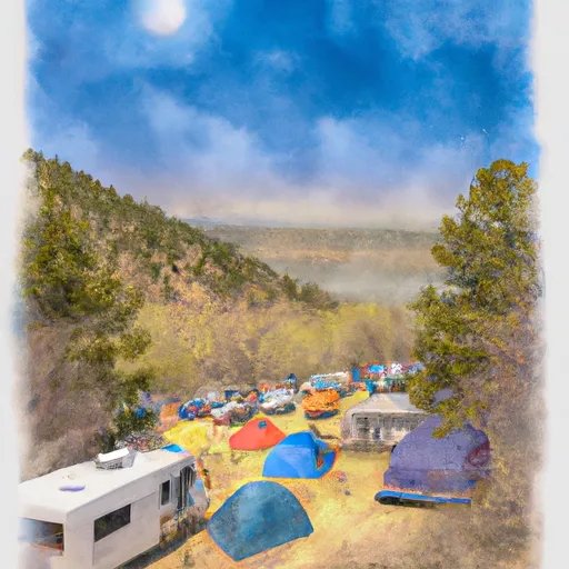 Site W7
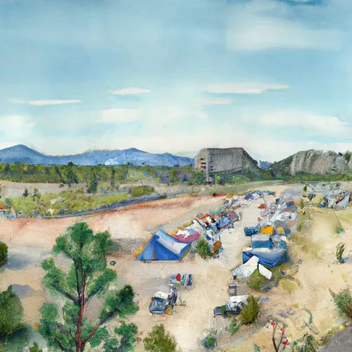 Site 26
 Site W5
 Pawnee
 Lake Isabelle - IPWA
 Coney Lakes - IPWA
 Crater Lake (Hyslop Lake) - IPWA
 Mitchell Lakes - IPWA
 Long Lake - IPWA