2026-02-24T17:00:00-07:00
* WHAT...West winds 35 to 50 mph with gusts up to 80 mph possible. * WHERE...The Northern Front Range Foothills, the Mosquito Range, and the Front Range Mountains including, Rocky Mountain National Park and the Indian Peaks. * WHEN...From Tuesday morning through late Tuesday afternoon. * IMPACTS...Gusty winds will blow around unsecured objects and a few power outages may result. Travel could be difficult, especially for high profile vehicles.
Summary
It is part of the Indian Peaks Wilderness Area in Colorado, offering a challenging climb and stunning views to mountaineers and hikers. The mountain is known for its diverse terrain, including rocky cliffs, alpine tundra, and snowfields.
During the winter season, Navajo Peak experiences significant snowfall, resulting in a substantial snowpack. The snowpack range varies each year, depending on weather conditions and precipitation. It is important for mountaineers to be prepared with proper gear, including crampons and ice axes, to safely navigate the snow-covered terrain.
Navajo Peak is surrounded by several creeks and rivers that receive runoff from the mountain. Some notable waterways include North Fork of Middle Boulder Creek, South Fork of Middle Boulder Creek, and Jasper Creek. These water sources provide essential freshwater for the surrounding ecosystem and contribute to the beautiful alpine landscape.
The name "Navajo Peak" does not have any direct connection to the Navajo tribe or culture. It is believed that early settlers mistakenly applied the name, possibly due to a misidentification or confusion with other geographic features. Despite the lack of a direct association, Navajo Peak remains a significant and captivating landmark in the Rocky Mountains, attracting adventurers and nature enthusiasts from around the world.
°F
°F
mph
Wind
%
Humidity

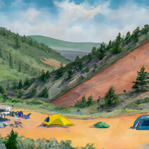 Buckingham
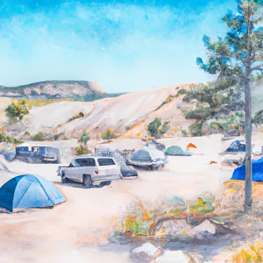 Site H4
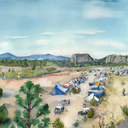 Site 26
 Pawnee
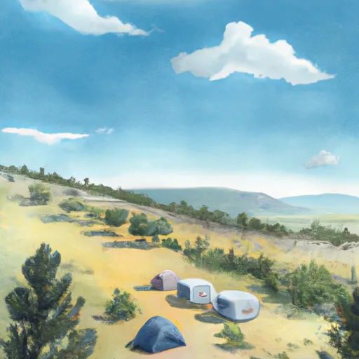 Site 289
 Site W8
 Lake Isabelle - IPWA
 Blue Lakes - IPWA
 Caribou Lake - IPWA
 Long Lake - IPWA
 Lake Dorothy - IPWA