2026-02-24T05:00:00-07:00
* WHAT...Snow and blowing snow expected. Total snow accumulations between 6 and 8 inches near pass level, with amounts in excess of a foot above pass level. * WHERE...East Glacier Park Region Zone. * WHEN...From 5 AM Monday to 5 AM MST Tuesday. * IMPACTS...Travel could be very difficult and tire chains may be required for some vehicles. Those in the backcountry should ensure they are prepared for dangerous conditions. Areas of blowing snow could significantly reduce visibility. * ADDITIONAL DETAILS...Snowfall rates look to peak between late afternoon and late evening Monday.
Summary
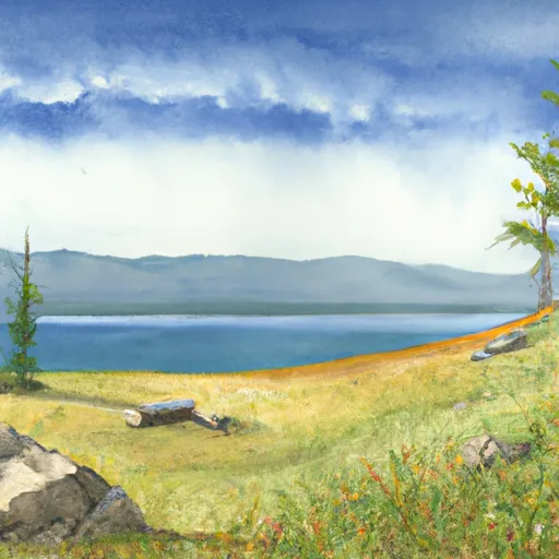
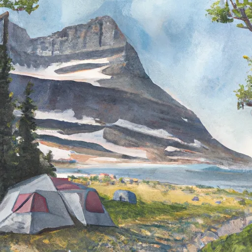
Standing at an impressive elevation, it reaches heights of over 10,000 feet. This majestic mountain offers breathtaking views of the surrounding landscape and is a popular destination for mountaineers and outdoor enthusiasts.
During the winter season, Pollock Mountain receives a substantial amount of snowfall, creating excellent conditions for winter sports such as skiing and snowboarding. The snowpack range can vary each year, but on average, it accumulates several feet of snow, making it an ideal playground for snow enthusiasts. As the snow melts during the spring and summer months, it feeds into nearby creeks and rivers, providing a source of freshwater for the surrounding ecosystems.
The name "Pollock Mountain" is thought to have originated from early explorers or settlers in the area, although the exact history behind the name remains unclear. Despite the lack of known legends or lore specifically associated with Pollock Mountain, the mountain's grandeur and natural beauty have undoubtedly captivated the imaginations of those who have ventured to its summit. With its stunning elevation, abundant snowpack, and contribution to the local water systems, Pollock Mountain is a remarkable landmark in the Rocky Mountains.
°F
°F
mph
Wind
%
Humidity
15-Day Weather Outlook
5-Day Hourly Forecast Detail
Regional Streamflow Levels
60
Cubic Feet Per Second
1,440
Cubic Feet Per Second
3,560
Cubic Feet Per Second
113
Cubic Feet Per Second
Area Campgrounds
| Location | Reservations | Toilets |
|---|---|---|
 Cracker Lake
|
||
 Reynolds Creek
|
||
 Otokomi Lake
|
||
 GRANITE PARK
|
||
 Granite Park campsite
|
||
 MANY GLACIER
|
