2026-02-24T17:00:00-07:00
* WHAT...West winds 35 to 50 mph with gusts up to 80 mph possible. * WHERE...The Northern Front Range Foothills, the Mosquito Range, and the Front Range Mountains including, Rocky Mountain National Park and the Indian Peaks. * WHEN...From Tuesday morning through late Tuesday afternoon. * IMPACTS...Gusty winds will blow around unsecured objects and a few power outages may result. Travel could be difficult, especially for high profile vehicles.
Summary
With an elevation of 14,271 feet (4,350 meters), it is one of the highest peaks in the state of Colorado, attracting mountaineers and hikers from around the world.
During the winter season, Quandary Peak experiences a significant snowpack, making it a popular destination for winter sports enthusiasts. The snowpack range varies depending on the year, with an average of around 150-200 inches (380-510 cm). This creates excellent conditions for snowshoeing, backcountry skiing, and snowboarding.
Several creeks and rivers benefit from Quandary Peak's runoff, including Blue River and Wheeler Lakes. These water sources are vital for the surrounding ecosystem, providing nourishment to flora and fauna in the area.
The name "Quandary" is said to originate from a story about a group of miners who became lost near the mountain. When they finally found their way out, one of the miners exclaimed, "I don't know where we've been, but I'll be damned if it wasn't a Quandary!" This tale has become part of the lore surrounding the mountain, adding to its unique charm.
Quandary Peak, with its impressive elevation, winter snowpack, and scenic creeks, offers a captivating experience for outdoor enthusiasts.
°F
°F
mph
Wind
%
Humidity
15-Day Weather Outlook
5-Day Hourly Forecast Detail
Regional Streamflow Levels
73
Cubic Feet Per Second
3
Cubic Feet Per Second
21
Cubic Feet Per Second
7
Cubic Feet Per Second
Area Campgrounds
| Location | Reservations | Toilets |
|---|---|---|
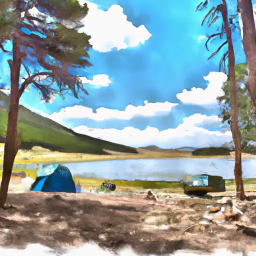 Kite Lake
|
||
 Kite Lake Campground
|
||
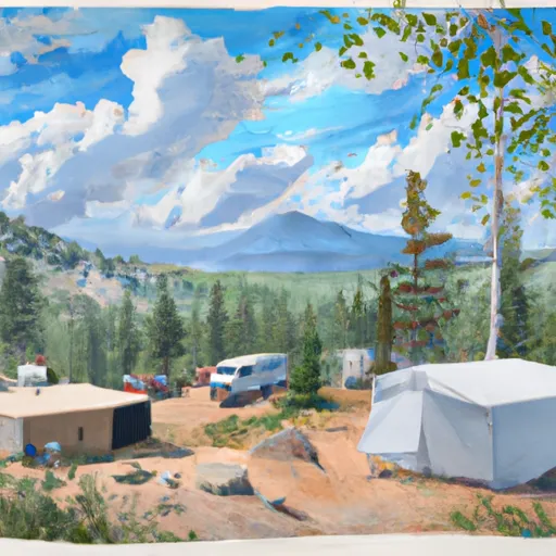 Boreas Pass Section House
|
||
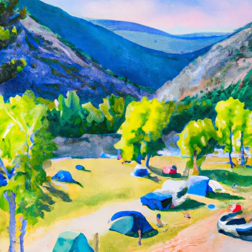 Selkirk Campground
|
||
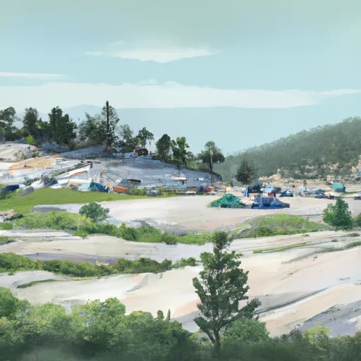 Selkirk
|
||
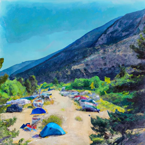 Camp Hale East Fork Group Campground
|

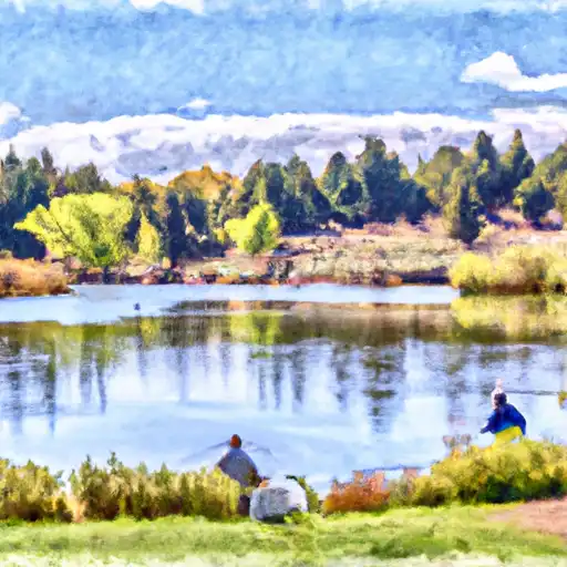 Curtain Ponds
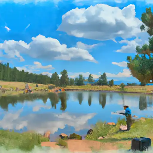 Officers Gulch Pond
 Camp Hale Pond Fishing Pier
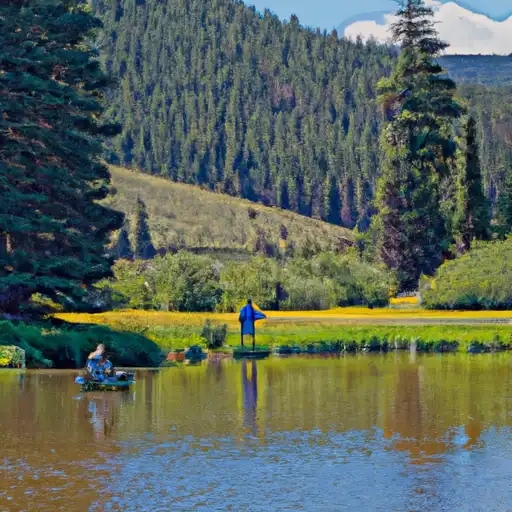 Black Lakes (Vail)