Summary
It stands tall at an elevation of 14,034 feet (4,278 meters), making it one of the many towering peaks in the range. Known for its stunning beauty and challenging terrain, Redcloud Peak attracts mountaineers and outdoor enthusiasts from around the world.
During the winter season, Redcloud Peak experiences a wide range of snowpack. The snowpack is generally heaviest from December to March, with average snow depths ranging from several feet to over ten feet in some areas. This heavy snowfall and the challenging weather conditions make winter ascents of Redcloud Peak a popular challenge for experienced mountaineers.
Redcloud Peak is known for its beautiful surroundings and provides runoff to several creeks and rivers in the region. These include the nearby Lake Fork of the Gunnison River and Henson Creek, which benefit from the mountain's snowmelt during the spring and summer months.
The name "Redcloud" is believed to have originated from the vibrant hues that often grace the mountain's rocky slopes during sunrise and sunset. These breathtaking displays of color have led to various legends and lore surrounding the peak, further adding to its allure.
In conclusion, Redcloud Peak is a captivating mountain in the Rocky Mountains, boasting a lofty elevation of 14,034 feet. Its heavy winter snowpack and the runoff it provides to nearby creeks and rivers make it an important source of water for the region. The name "Redcloud" is attributed to the stunning colors that adorn the mountain, especially during sunrise and sunset, adding to its mystique.
°F
°F
mph
Wind
%
Humidity
15-Day Weather Outlook
5-Day Hourly Forecast Detail
Regional Streamflow Levels
68
Cubic Feet Per Second
-888
Cubic Feet Per Second
26
Cubic Feet Per Second
14
Cubic Feet Per Second
Area Campgrounds
| Location | Reservations | Toilets |
|---|---|---|
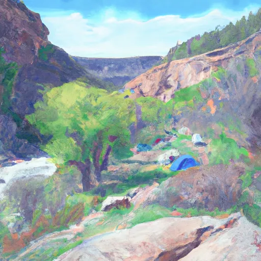
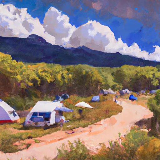
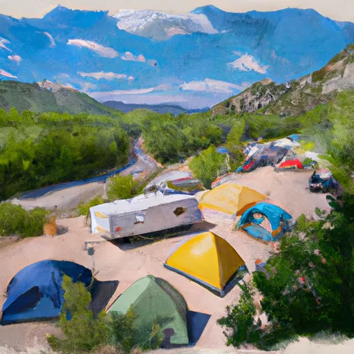
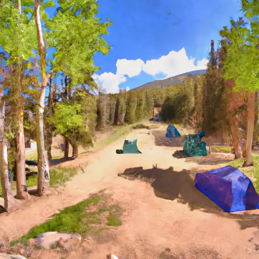
 Cataract Gulch
|
||
 Mill Creek Rec. Site
|
||
 Mill Creek - Lake City
|
||
 Bent Creek
|
||
 Williams Creek Campground- Gunnison RD
|
||
 Williams Creek
|
