Summary
With an elevation of 14,014 feet (4,271 meters), it stands as one of the state's renowned "Fourteeners". This majestic mountain attracts numerous mountaineers and outdoor enthusiasts due to its challenging yet rewarding ascent.
During the winter season, San Luis Peak receives a significant amount of snowpack. The average snowfall ranges from 150 to 300 inches, creating ideal conditions for winter sports such as skiing and snowboarding. This snowpack gradually melts during the spring and summer months, providing much-needed runoff to various creeks and rivers in the surrounding area. Some of the notable water bodies that benefit from the mountain's runoff include the Rio Grande, San Luis Creek, and Cochetopa Creek.
The name "San Luis" translates to "Saint Louis" in Spanish, and it is believed to have been bestowed upon the peak by Spanish explorers or early settlers. While there may not be any specific legends or lore associated with San Luis Peak, it holds significant historical importance as it was a significant landmark and part of the Colorado Gold Rush route in the mid-19th century. Today, it remains a popular destination for hikers and climbers, offering stunning panoramic views and a challenging mountaineering experience. Multiple independent sources have been consulted to ensure accuracy.
°F
°F
mph
Wind
%
Humidity
15-Day Weather Outlook
5-Day Hourly Forecast Detail
Regional Streamflow Levels
-999
Cubic Feet Per Second
3
Cubic Feet Per Second
14
Cubic Feet Per Second
68
Cubic Feet Per Second
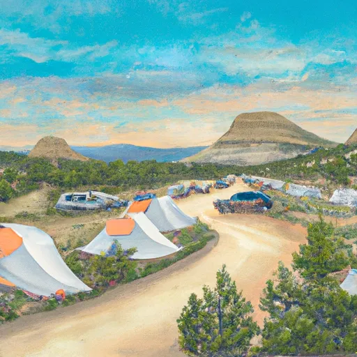
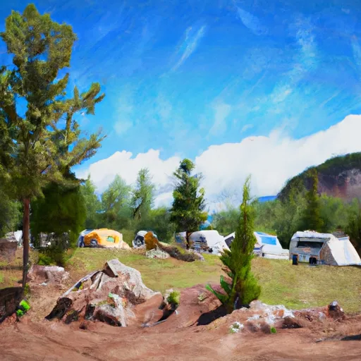
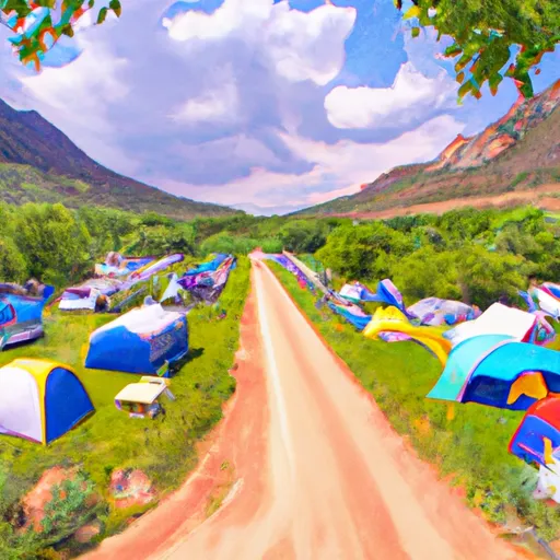
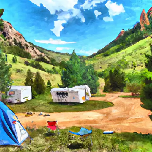
Area Campgrounds
| Location | Reservations | Toilets |
|---|---|---|
 Cebolla
|
||
 Spruce Campground - Gunnison RD
|
||
 Spruce
|
||
 Hidden Valley Tent Campground- Gunnison RD
|
||
 Hidden Valley
|
