2026-02-24T17:00:00-07:00
* WHAT...West winds 35 to 50 mph with gusts up to 80 mph possible. * WHERE...The Northern Front Range Foothills, the Mosquito Range, and the Front Range Mountains including, Rocky Mountain National Park and the Indian Peaks. * WHEN...From Tuesday morning through late Tuesday afternoon. * IMPACTS...Gusty winds will blow around unsecured objects and a few power outages may result. Travel could be difficult, especially for high profile vehicles.
Summary
Standing tall at an elevation of 13,397 feet (4,083 meters), it offers stunning panoramic views of the surrounding areas. The peak is part of the Indian Peaks Wilderness, which spans across 76,711 acres in Colorado.
During the winter season, South Arapaho Peak experiences a significant snowpack. The snowpack range can vary depending on the year and weather conditions, typically accumulating several feet of snow. This makes it a popular destination for winter mountaineering and backcountry skiing. The mountain's snow-covered slopes provide an exhilarating challenge for those seeking a thrilling winter adventure.
The meltwater from South Arapaho Peak feeds into several creeks and rivers in the region. One notable example is the Arapaho Creek, which flows eastward into the Middle Boulder Creek. This runoff contributes to the overall water supply in the area, benefiting both wildlife and nearby communities.
The name "Arapaho" originates from the Native American Arapaho tribe, who once inhabited the region. The Arapaho people have a rich cultural history and connection to the land. While there may not be specific legends or lore directly associated with South Arapaho Peak, the mountain's name serves as a reminder of the indigenous heritage and the deep roots that exist within the Rocky Mountains.
In conclusion, South Arapaho Peak is a majestic mountain in the Rocky Mountains mountain range, boasting a high elevation and picturesque vistas. Its significant snowpack during winter attracts winter sports enthusiasts, while its runoff contributes to the local water systems. Rooted in Native American history, the name "Arapaho" pays homage to the region's past and the culture that thrived in the area.
°F
°F
mph
Wind
%
Humidity
15-Day Weather Outlook
5-Day Hourly Forecast Detail
Regional Streamflow Levels
671
Cubic Feet Per Second
174
Cubic Feet Per Second
3
Cubic Feet Per Second
-999
Cubic Feet Per Second
Area Campgrounds
| Location | Reservations | Toilets |
|---|---|---|
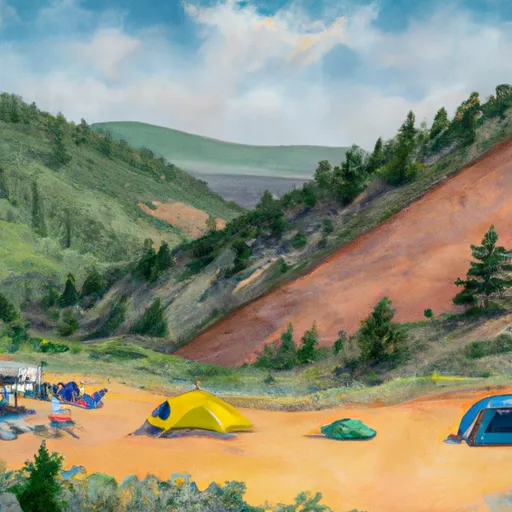 Buckingham
|
||
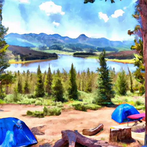 Rainbow Lakes
|
||
 Rainbow Lakes Campground
|
||
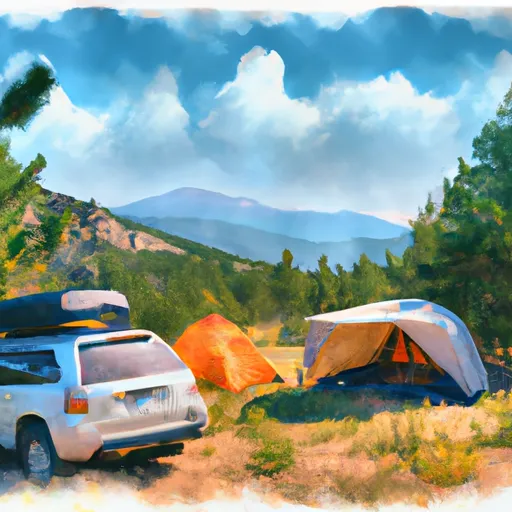 Caribou Dispersed Camping Area
|
||
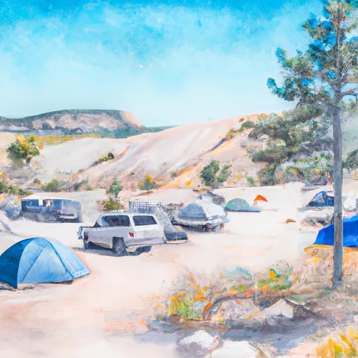 Site H4
|
||
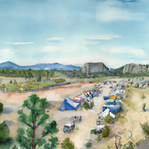 Site 26
|

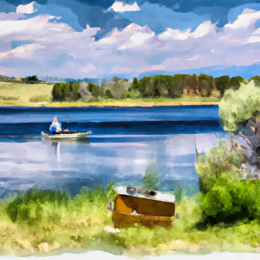 Deep Lake - IPWA
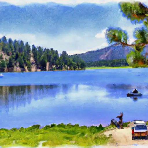 Diamond Lake - IPWA
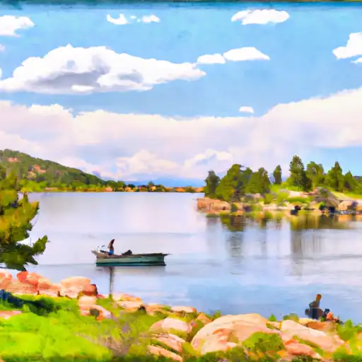 Lake Dorothy - IPWA
 Banana Lake - IPWA
 Neva Lakes - IPWA