2026-02-24T17:00:00-07:00
* WHAT...West winds 35 to 50 mph with gusts up to 80 mph possible. * WHERE...The Northern Front Range Foothills, the Mosquito Range, and the Front Range Mountains including, Rocky Mountain National Park and the Indian Peaks. * WHEN...From Tuesday morning through late Tuesday afternoon. * IMPACTS...Gusty winds will blow around unsecured objects and a few power outages may result. Travel could be difficult, especially for high profile vehicles.
Summary
Standing at an elevation of around 13,153 feet, it offers breathtaking views and challenging terrain for mountaineers. This massive peak is situated within the Rocky Mountain National Park, Colorado, and is a popular destination for outdoor enthusiasts.
During the winter season, Taylor Peak experiences heavy snowfall due to its location in the high-altitude region. The snowpack range can vary significantly depending on weather conditions, but it generally accumulates from late fall to early spring. The deep snow and icy conditions make it a thrilling destination for backcountry skiing and snowboarding.
Taylor Peak is also known for its significant runoff, which feeds into several creeks and rivers nearby. The melting snow from the peak contributes to the flow of the Cache La Poudre River and the Big Thompson River, providing essential water resources to the surrounding areas.
As for the name and history, Taylor Peak was named after U.S. President Zachary Taylor, who served from 1849 to 1850. The mountain's name is a tribute to his leadership and contribution to the nation. While no specific legends or lore are associated with Taylor Peak, its remarkable location and challenging terrain continue to inspire mountaineers and nature enthusiasts alike.
In summary, Taylor Peak is a majestic mountain in the Rocky Mountains mountain range with an elevation of around 13,153 feet. It experiences heavy snowfall during the winter seasons, making it a popular destination for winter sports. The melting snow from the peak contributes to the flow of the Cache La Poudre River and the Big Thompson River. Named after U.S. President Zachary Taylor, Taylor Peak offers breathtaking views and is a significant landmark within the Rocky Mountain National Park.
°F
°F
mph
Wind
%
Humidity
15-Day Weather Outlook
5-Day Hourly Forecast Detail
Regional Streamflow Levels
671
Cubic Feet Per Second
3
Cubic Feet Per Second
48
Cubic Feet Per Second
174
Cubic Feet Per Second
Area Campgrounds
| Location | Reservations | Toilets |
|---|---|---|
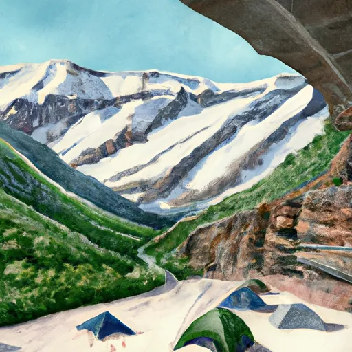 Glacier Gorge
|
||
 Sourdough campsite
|
||
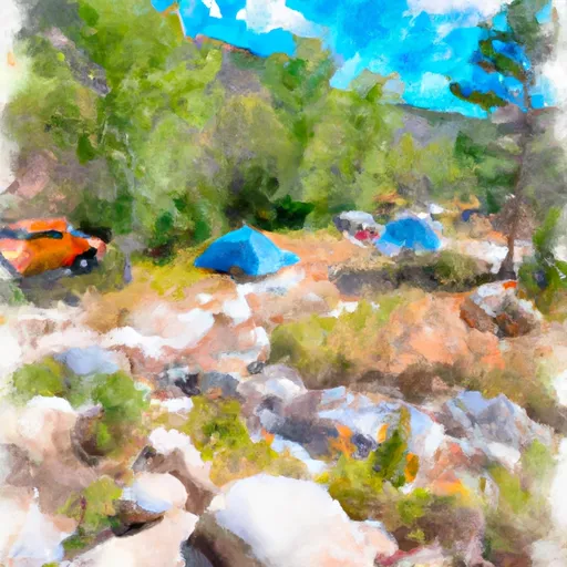 Boulder Brook #1
|
||
 Boulderfield
|
||
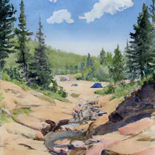 Boulder Brook #2
|
||
 Thunder Lake CS #2
|

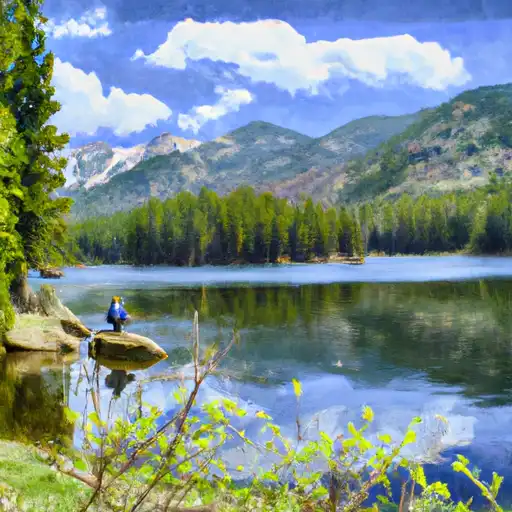 Glass Lake - RMNP
 Lake Solitude - RMNP
 The Loch - RMNP
 Black Lake - RMNP
 Jewel Lake - RMNP