2026-02-24T17:00:00-07:00
* WHAT...West winds 35 to 50 mph with gusts up to 80 mph possible. * WHERE...The Northern Front Range Foothills, the Mosquito Range, and the Front Range Mountains including, Rocky Mountain National Park and the Indian Peaks. * WHEN...From Tuesday morning through late Tuesday afternoon. * IMPACTS...Gusty winds will blow around unsecured objects and a few power outages may result. Travel could be difficult, especially for high profile vehicles.
Summary
With an elevation of approximately 11,428 feet, it offers breathtaking panoramic views of the surrounding landscape. The mountain is part of the Front Range in Colorado and is situated within the boundaries of the Roosevelt National Forest.
During the winter season, Twin Sisters experiences a significant snowpack range due to its high elevation. Snow accumulation can vary greatly depending on the year, but it typically ranges from 100 to 200 inches. This makes it a popular destination for winter sports enthusiasts, offering opportunities for snowshoeing, backcountry skiing, and snowboarding.
Twin Sisters Mountain is notable for its role in the hydrological system of the region. It serves as a source of runoff for several creeks and rivers, including the Big Thompson River. The melting snow during spring and summer replenishes these waterways, contributing to the local ecosystem and providing essential resources for nearby communities.
The name "Twin Sisters" is said to originate from the unique twin peaks that form the summit of the mountain. According to local folklore, Native American tribes considered these peaks to be sisters who watched over the land. The area also holds some historical significance, as it was explored by early settlers and used as a landmark during westward expansion.
In summary, Twin Sisters Mountain in the Rocky Mountains is a majestic peak with an elevation of approximately 11,428 feet. It boasts a varied snowpack during the winter season, making it a popular destination for winter sports enthusiasts. Additionally, the mountain contributes to the hydrological system of the region, providing runoff for creeks and rivers. Its name and lore add an interesting cultural aspect to the mountain's history, making it a captivating destination for both adventure and exploration.
°F
°F
mph
Wind
%
Humidity
15-Day Weather Outlook
5-Day Hourly Forecast Detail
Regional Streamflow Levels
174
Cubic Feet Per Second
48
Cubic Feet Per Second
671
Cubic Feet Per Second
1,950
Cubic Feet Per Second
Area Campgrounds
| Location | Reservations | Toilets |
|---|---|---|
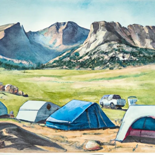 Longs Peak Campground
|
||
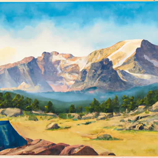 Longs Peak - Rocky Mountain National Park
|
||
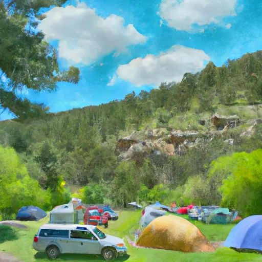 Moore Park
|
||
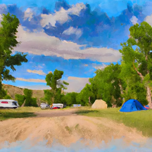 Meeker Park Overflow Campground
|
||
 Goblins Forest
|
||
 Meeker Park Overflow
|

 Peacock Pool - RMNP
 Copeland Lake - RMNP
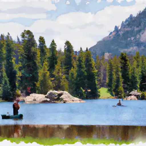 Sprague Lake - RMNP
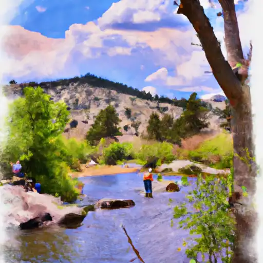 Big Thompson River
 Sandbeach Lake - RMNP