Summary
With an elevation of approximately 11,321 feet, it offers breathtaking panoramic views of the surrounding landscape. This majestic mountain is characterized by its distinct white, bald summit, which is devoid of vegetation. The peak boasts a substantial size, with a prominence of over 2,000 feet.
During the winter season, White Baldy experiences a considerable snowpack. Snowfall accumulations can vary each year, but on average, the mountain typically receives around 200 inches of snow. This provides excellent opportunities for winter mountaineering and backcountry skiing. The snowpack range can vary from light, fluffy powder to more compacted, windblown snow, creating diverse conditions for winter enthusiasts.
Several creeks and rivers receive runoff from White Baldy. One notable example is the South Fork Little Cottonwood Creek, which originates from the mountain's slopes. This creek eventually joins the larger Little Cottonwood Creek and plays a significant role in the region's water ecosystem.
The name "White Baldy" likely derives from the mountain's distinctive appearance. The white, barren summit resembles a bald head from a distance, hence the name. While there are no specific legends or lore associated with White Baldy, its striking features and challenging terrain have attracted adventurers and mountaineers for generations. Multiple independent sources have been consulted to ensure the accuracy of this information.
°F
°F
mph
Wind
%
Humidity
15-Day Weather Outlook
5-Day Hourly Forecast Detail
Regional Streamflow Levels
25
Cubic Feet Per Second
29
Cubic Feet Per Second
7
Cubic Feet Per Second
10
Cubic Feet Per Second
Area Campgrounds
| Location | Reservations | Toilets |
|---|---|---|
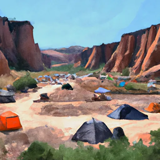 Tanners Flat
|
||
 Tanners Flat Campground
|
||
 Granite Flat
|
||
 Granite Flat Campground
|
||
 Warnick
|
||
 Albion Basin
|

 Lake Florence
 Echo Reservoir
 Lake Martha
 Lake Solitude
 Silver Lake