Summary
With an elevation of 14,246 feet (4,342 meters), it stands as one of Colorado's renowned Fourteeners. The mountain is characterized by its distinct pyramid shape and offers breathtaking panoramic views from its summit. Mount Wilson is situated within the Lizard Head Wilderness, attracting mountaineers and outdoor enthusiasts from around the world.
During the winter season, Mount Wilson experiences heavy snowfall, making it a popular destination for snowshoeing and backcountry skiing. The snowpack range can vary each year, but on average, it accumulates between 150 to 200 inches of snow. This abundant snowfall contributes to the mountain's challenging winter ascent, requiring proper mountaineering skills and equipment.
Several creeks and rivers obtain their runoff from Mount Wilson. It is a primary source for the San Miguel River, which flows through the beautiful San Miguel Valley. The mountain's melting snow also feeds into the San Miguel River's tributaries, such as the Dolores River and the Gurley Creek.
As for its name, Mount Wilson was named after Major Richard Wilson, a topographer and army officer who surveyed the area in the mid-1800s. The mountain holds some interesting lore and legends, including tales of hidden gold mines and mysterious disappearances. While these stories add to the mountain's allure, it's essential to approach them with skepticism and prioritize verified information.
In summary, Mount Wilson is an impressive peak in the Rocky Mountains, boasting a prominent elevation and challenging winter conditions. Its snowpack range contributes to a remarkable winter playground for outdoor enthusiasts. As a significant water source, the mountain's runoff feeds into various creeks and rivers. Named after Major Richard Wilson, it encompasses both intriguing legends and a rich mountaineering history.
°F
°F
mph
Wind
%
Humidity
15-Day Weather Outlook
5-Day Hourly Forecast Detail
Regional Streamflow Levels
-888
Cubic Feet Per Second
501
Cubic Feet Per Second
14
Cubic Feet Per Second
-888
Cubic Feet Per Second
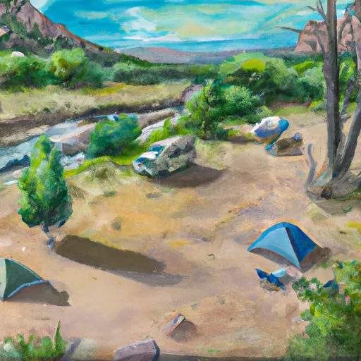
Area Campgrounds
| Location | Reservations | Toilets |
|---|---|---|
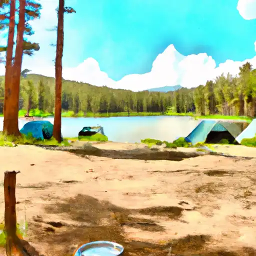 Woods Lake
|
||
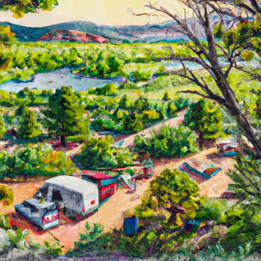 Woods Lake Campground - Norwood RD
|
||
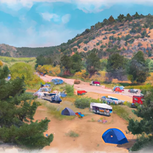 Cayton Campground
|
||
 Cayton
|
||
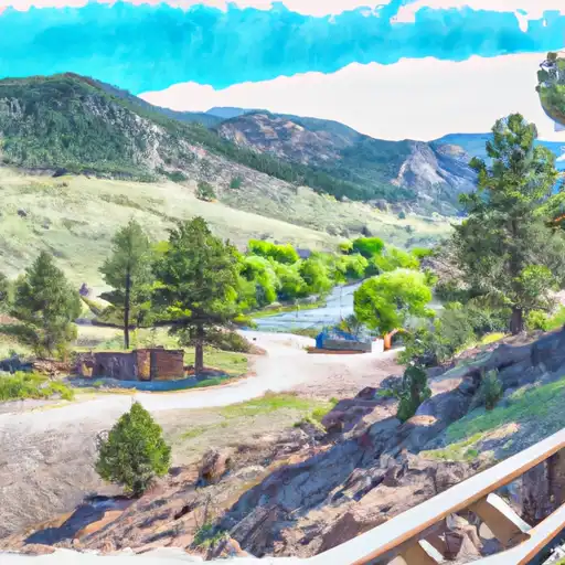 Burro Bridge
|
||
 Burro Bridge Campground
|
