Summary
With an elevation of approximately 14,001 feet (4,267 meters), it stands as one of Colorado's famed fourteeners. This majestic peak offers breathtaking panoramic views of the surrounding alpine landscape.
During the winter season, Sunshine Peak experiences a substantial snowpack, which contributes to the renowned skiing and snowboarding opportunities in the area. The snowpack range varies each year, but it typically accumulates from late fall to early spring, allowing for a long winter sports season. Snow enthusiasts can enjoy a variety of terrain, from open bowls to tree-lined slopes, making Sunshine Peak a popular destination for backcountry adventures.
Additionally, Sunshine Peak contributes to the hydrological system of the region, as its melting snow provides runoff to neighboring creeks and rivers. Over time, these waterways, such as the nearby Rio Grande River, have carved their way through the picturesque valleys, adding to the natural beauty of the area.
As for its name, Sunshine Peak's origin remains unclear. It is possible that the mountain was named due to the abundance of sunlight it receives, illuminating the surrounding landscape. However, specific historical records or legends regarding the name are scarce, leaving much room for speculation and imagination.
In conclusion, Sunshine Peak in the Rocky Mountains offers an awe-inspiring mountaineering experience with its impressive elevation and size. Its substantial snowpack during winter provides ample opportunities for winter sports, while its runoff contributes to the hydrological system of the region. Despite the lack of concrete information on its name's history, the mountain's inherent beauty and captivating views make it a beloved destination for outdoor enthusiasts.
°F
°F
mph
Wind
%
Humidity
15-Day Weather Outlook
5-Day Hourly Forecast Detail
Regional Streamflow Levels
113
Cubic Feet Per Second
14
Cubic Feet Per Second
-888
Cubic Feet Per Second
317
Cubic Feet Per Second
Area Campgrounds
| Location | Reservations | Toilets |
|---|---|---|
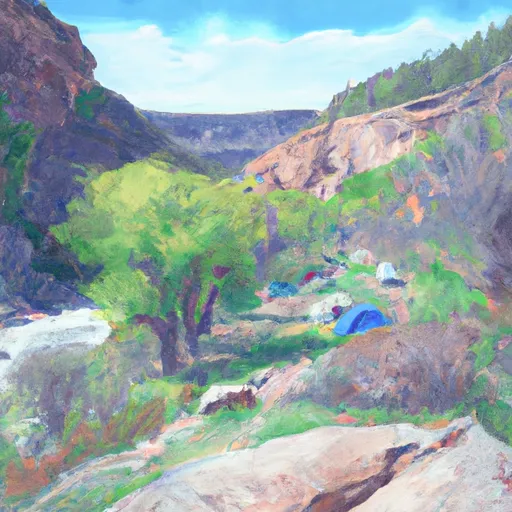 Cataract Gulch
|
||
 Mill Creek Rec. Site
|
||
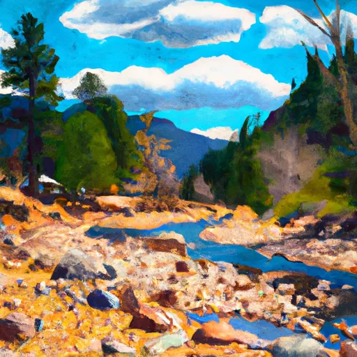 Mill Creek - Lake City
|
||
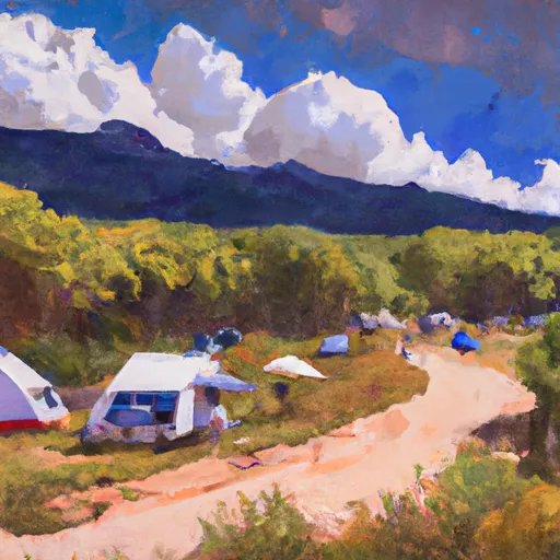 Bent Creek
|
||
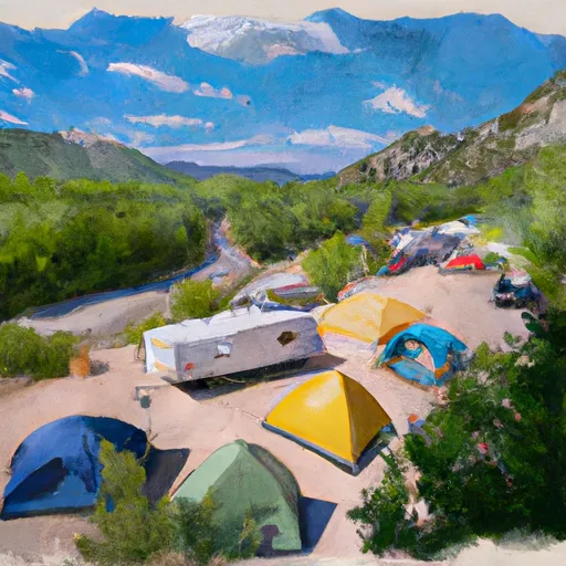 Williams Creek Campground- Gunnison RD
|
||
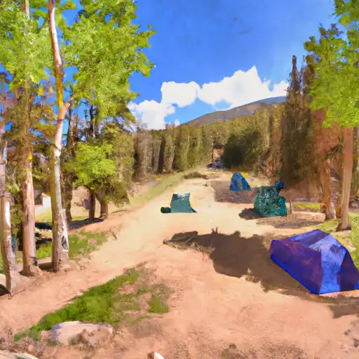 Williams Creek
|

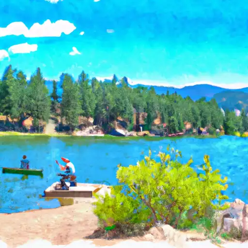 Lake San Cristobal
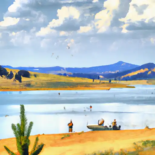 Continental Reservoir
 Continental Reservoir Fishing Site