Summary
This majestic peak is a popular destination for mountaineers due to its breathtaking views and challenging ascent. The mountain is characterized by its rugged terrain, towering cliffs, and expansive alpine meadows.
During the winter season, Lake Fork Peak receives a substantial amount of snowfall, resulting in a diverse snowpack range. The snowpack can vary greatly depending on weather patterns and prevailing climate conditions. Mountaineers are advised to check local weather forecasts and avalanche conditions before attempting to summit the peak, as snowpack stability is crucial for a safe ascent.
Lake Fork Peak is named after the nearby Lake Fork Creek, which originates from the mountain's melting snow and glaciers. This creek is an important water source for the surrounding area, providing a lifeline for flora and fauna. Additionally, the peak is known for its rich history and intriguing legends. Stories of early explorers and Native American tribes have been passed down, adding a sense of mystique to the mountain. With its stunning natural beauty and captivating history, Lake Fork Peak remains a cherished destination for mountaineers seeking adventure in the Rocky Mountains.
°F
°F
mph
Wind
%
Humidity
15-Day Weather Outlook
5-Day Hourly Forecast Detail
Regional Streamflow Levels
0
Cubic Feet Per Second
12
Cubic Feet Per Second
13
Cubic Feet Per Second
263
Cubic Feet Per Second
Area Campgrounds
| Location | Reservations | Toilets |
|---|---|---|
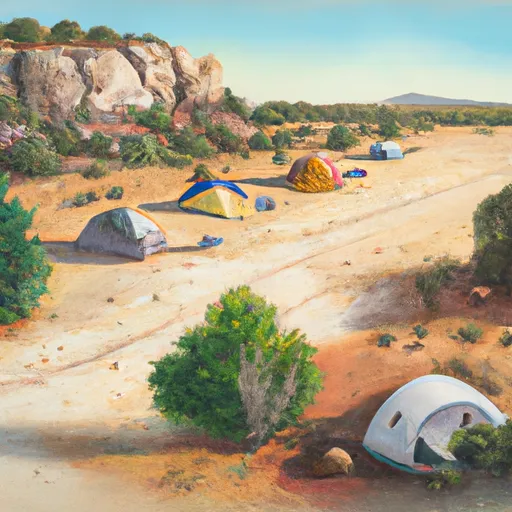 Twining
|
||
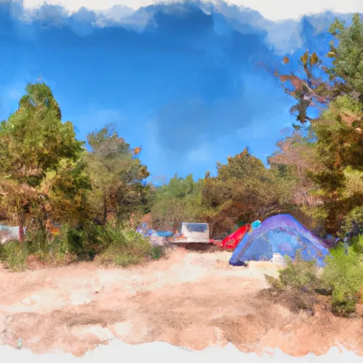 Twining Campground
|
||
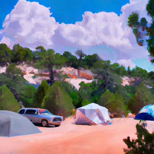 Italianos
|
||
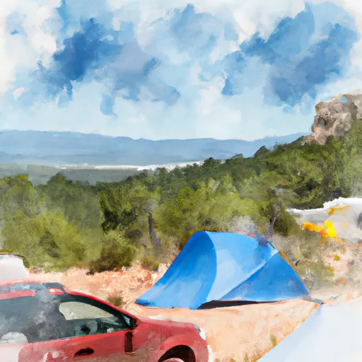 Cuchilla Campground
|
||
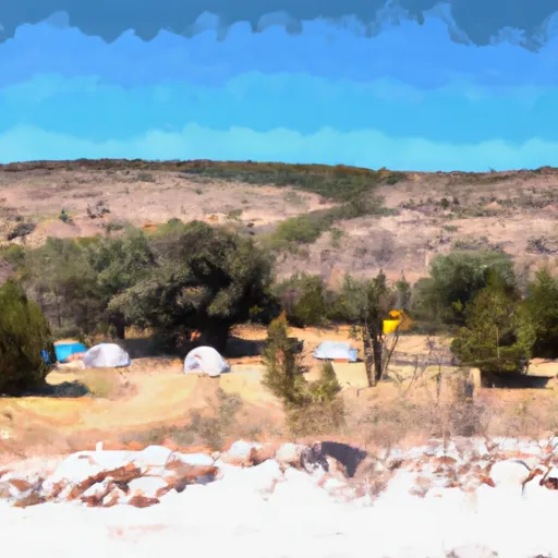 Cuchillo Del Medio Campground
|
||
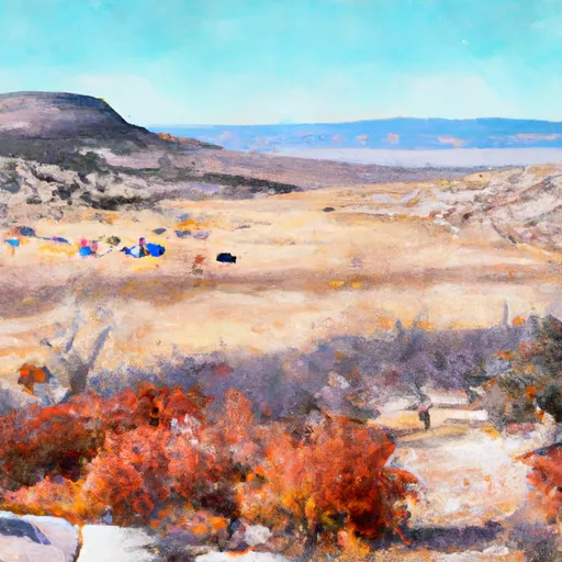 Cuchillo de Medio
|
