Summary
It is known for its stunning size and commanding presence among the surrounding peaks. With its rugged terrain and breathtaking views, Redonda Peak is a popular destination for mountaineers and outdoor enthusiasts alike.
During the winter season, Redonda Peak experiences a considerable snowpack range, adding to its allure for winter sports enthusiasts. Snow depths can vary significantly, ranging from several feet to over ten feet, depending on the specific weather conditions. This makes Redonda Peak an ideal location for activities such as backcountry skiing and snowshoeing.
Several creeks and rivers receive runoff from Redonda Peak, adding to the mountain's ecological importance. These water sources contribute to the overall health of the surrounding ecosystem and provide vital resources for wildlife and vegetation in the area.
The name "Redonda" is said to have originated from Spanish explorers who named the peak for its rounded shape and vibrant red hue when the setting sun casts its glow upon the mountain. Along with its striking physical features, Redonda Peak also has a rich history of lore and legends. Local stories often speak of hidden treasure, mythical creatures, and the spiritual significance attributed to the mountain by Native American tribes. While these legends add intrigue and mystery to Redonda Peak, it is essential to verify the accuracy of these claims through multiple independent sources.
°F
°F
mph
Wind
%
Humidity
15-Day Weather Outlook
5-Day Hourly Forecast Detail
Regional Streamflow Levels
2
Cubic Feet Per Second
3
Cubic Feet Per Second
1
Cubic Feet Per Second
1
Cubic Feet Per Second
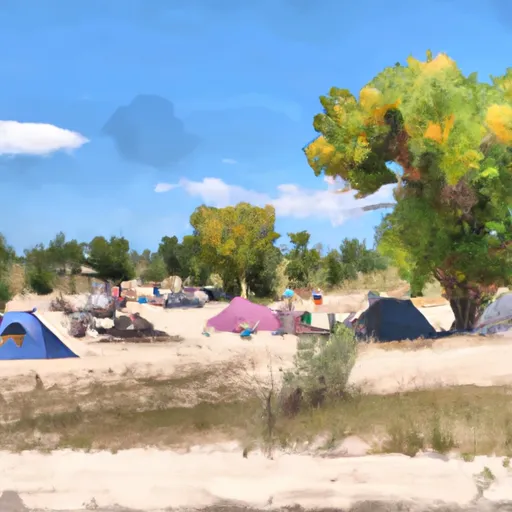
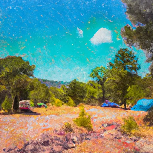
Area Campgrounds
| Location | Reservations | Toilets |
|---|---|---|
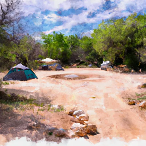 Windsor Creek Campground
|
||
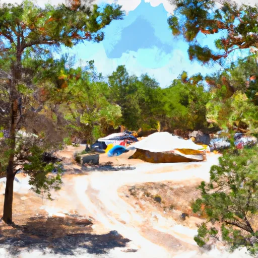 Panchuela Campground
|
||
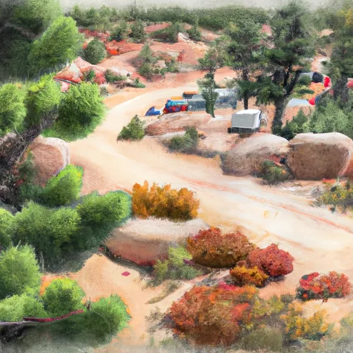 Panchuela
|
||
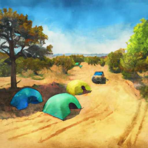 Group Site A
|
||
 Group Site B
|
||
 Jacks Creek Campground
|

 Cowles Ponds Fishing Site
 Cowles Ponds
 Trampas Lakes Fishing