Summary
It offers breathtaking views and is a popular destination for mountaineers and hikers alike. The mountain is known for its challenging terrain and rugged beauty.
During the winter season, Grizzly Peak experiences a significant snowpack range. The snowfall can vary depending on weather patterns, but it typically accumulates from November to April, with peak snowpack depths reaching several feet. This makes it an ideal location for winter sports enthusiasts, including backcountry skiing and snowshoeing.
Grizzly Peak contributes to the water ecosystem of the surrounding area, with several creeks and rivers receiving runoff from the mountain. These water sources provide important sustenance to local flora and fauna. One such example is Clear Creek, which originates from the melting snow and ice on Grizzly Peak. Clear Creek is a popular fishing spot and supports diverse aquatic life.
The name "Grizzly Peak" is believed to be derived from the presence of grizzly bears in the area during the early settlement years. These majestic creatures roamed the mountainside, leaving an impression on early explorers and settlers. Today, Grizzly Peak stands as a reminder of the rich history and natural wonders that the Rocky Mountains hold.
°F
°F
mph
Wind
%
Humidity
15-Day Weather Outlook
5-Day Hourly Forecast Detail
Regional Streamflow Levels
8
Cubic Feet Per Second
7
Cubic Feet Per Second
31
Cubic Feet Per Second
21
Cubic Feet Per Second
Area Campgrounds
| Location | Reservations | Toilets |
|---|---|---|
 Portal
|
||
 Portal Campground
|
||
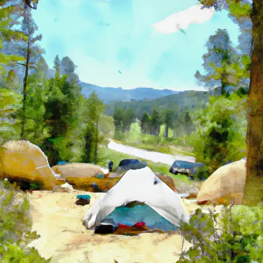 Lost Man
|
||
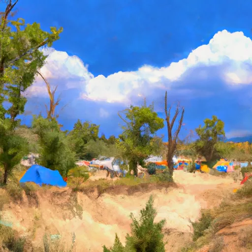 Lost Man Campground
|
||
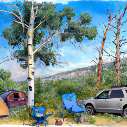 Lincoln Creek dispersed campsite #8
|
||
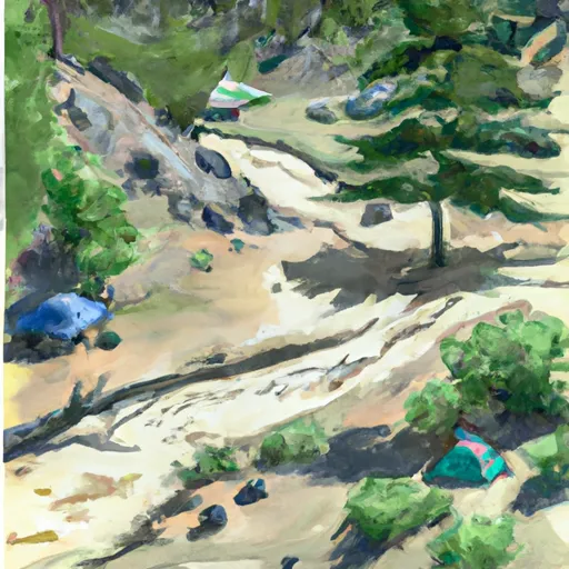 Lincoln Creek dispersed campsite #7
|

 Sayer's Gulch Trailhead
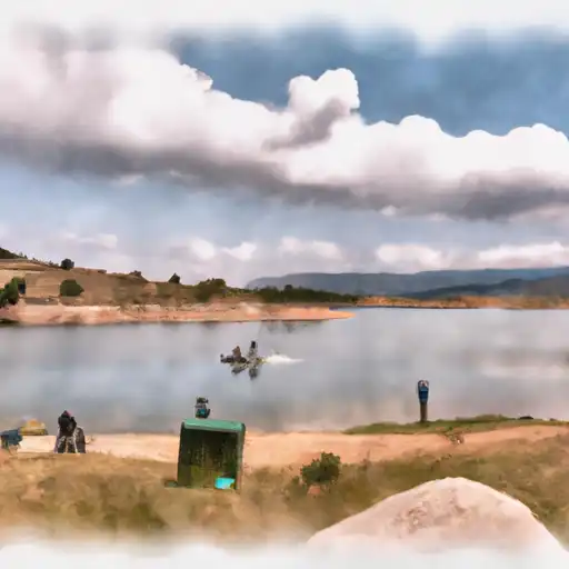 Lost Man Reservoir
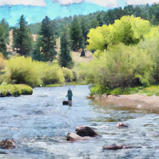 South Fork Clear Creek
 Moache Fishing Site