Summary
It stands at an elevation of 14,011 feet (4,271 meters) and is situated in the state of Colorado, USA. This majestic mountain gets its name from the distinctive cross-shaped snowfield on its northeastern face, formed by couloirs and gullies.
During the winter season, Mount of the Holy Cross receives a significant snowpack, making it a popular destination for backcountry skiers and snowboarders. The snowpack range varies each year, with depths averaging around 100-200 inches. The mountain's location and elevation contribute to the accumulation of snow, providing excellent conditions for winter sports enthusiasts.
Several creeks and rivers benefit from the runoff of Mount of the Holy Cross. One such watercourse is Cross Creek, which flows down the mountain's south side. This creek eventually joins the Eagle River, which further feeds into the Colorado River system, supplying water to surrounding communities and ecosystems.
The mountain also holds a rich history and lore. The name "Mount of the Holy Cross" was given by a group of explorers led by William Henry Jackson in 1873, inspired by the cross-shaped snowfield. This unique feature has captivated people throughout history and has been a subject of various legends and religious interpretations.
In conclusion, Mount of the Holy Cross is a remarkable peak in the Rocky Mountains with an elevation of 14,011 feet. It receives a substantial winter snowpack, making it a popular destination for winter sports enthusiasts. The mountain's runoff feeds into creeks such as Cross Creek, which eventually joins the Eagle River. The name of the mountain originates from the characteristic cross-shaped snowfield, and it holds a fascinating history and lore.
°F
°F
mph
Wind
%
Humidity
15-Day Weather Outlook
5-Day Hourly Forecast Detail
Regional Streamflow Levels
21
Cubic Feet Per Second
8
Cubic Feet Per Second
21
Cubic Feet Per Second
7
Cubic Feet Per Second
Area Campgrounds
| Location | Reservations | Toilets |
|---|---|---|
 Half Moon Campground
|
||
 Halfmoon
|
||
 Tigiwon
|
||
 Tigiwon Community House
|
||
 Gold Park Campground
|
||
 Gold Park
|

 Homestake Reservoir
 Camp Hale Pond Fishing Pier
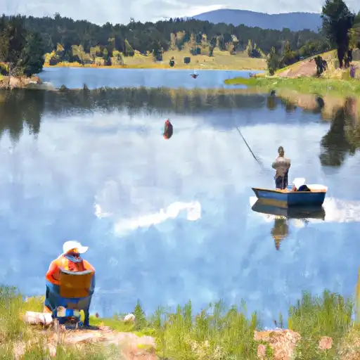 Nottingham Lake