Summary
With an elevation of approximately 13,237 feet (4,035 meters), it offers breathtaking views of the surrounding landscape. This mountain is known for its challenging terrain, making it a popular destination for experienced mountaineers seeking a thrilling adventure.
During the winter season, Notch Mountain receives a substantial amount of snowfall, resulting in a diverse snowpack range. The snowpack can vary from light and fluffy powder to compacted and icy layers, depending on weather conditions and the time of year. This makes it an excellent destination for winter sports enthusiasts, such as backcountry skiers and snowshoers, who can enjoy the mountain's pristine winter landscape.
Notch Mountain contributes to the water resources of the region through its runoff, which feeds into several creeks and rivers. One such notable waterway is Homestake Creek, which originates from the snowmelt and glacial runoff of the mountain. Homestake Creek eventually joins the Eagle River, which is a significant tributary of the Colorado River system. This runoff provides essential water supply for downstream communities and supports a thriving ecosystem.
The name "Notch Mountain" is believed to have originated from the distinct notch or saddle-like feature that is visible on its ridge. This prominent feature serves as a natural landmark and has been a point of interest for both explorers and locals throughout history. There are no specific legends or folklore associated with Notch Mountain, but its awe-inspiring presence and challenging terrain continue to captivate those who venture into its rugged slopes.
°F
°F
mph
Wind
%
Humidity
15-Day Weather Outlook
5-Day Hourly Forecast Detail
Regional Streamflow Levels
21
Cubic Feet Per Second
21
Cubic Feet Per Second
8
Cubic Feet Per Second
73
Cubic Feet Per Second
Area Campgrounds
| Location | Reservations | Toilets |
|---|---|---|
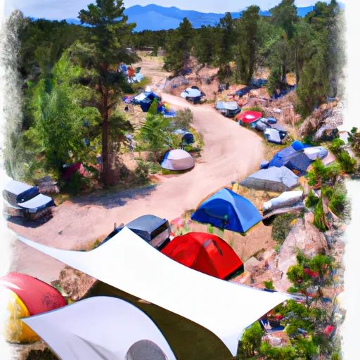 Half Moon Campground
|
||
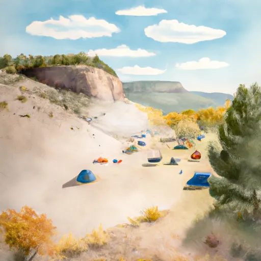 Halfmoon
|
||
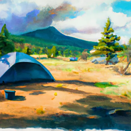 Tigiwon
|
||
 Tigiwon Community House
|
||
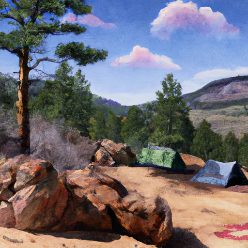 Blodgett
|
||
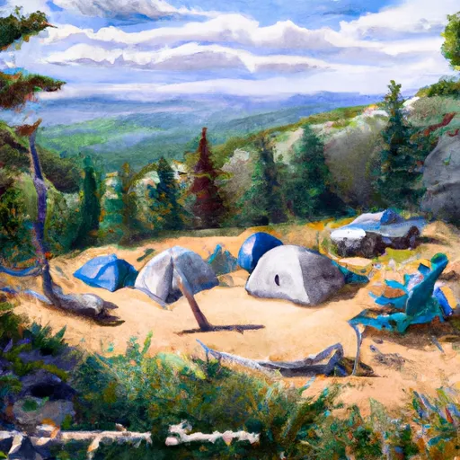 Hornsilver
|

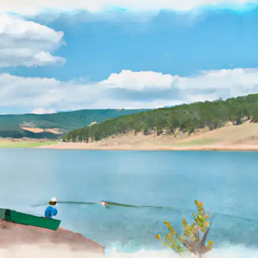 Homestake Reservoir
 Camp Hale Pond Fishing Pier
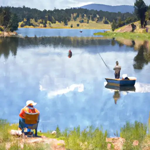 Nottingham Lake