Summary
Standing at an impressive elevation of 12,936 feet (3,943 meters), it is a stunning sight admired by mountaineers and outdoor enthusiasts alike. This majestic peak showcases the beauty of the Sierra Nevada region.
During the winter season, Banner Peak receives significant snowfall, making it a popular destination for winter mountaineering and skiing. The snowpack range varies each year, but typically reaches several feet in depth, providing ideal conditions for winter sports. This mountain is also renowned for its challenging and technical routes, attracting experienced climbers seeking thrilling adventures.
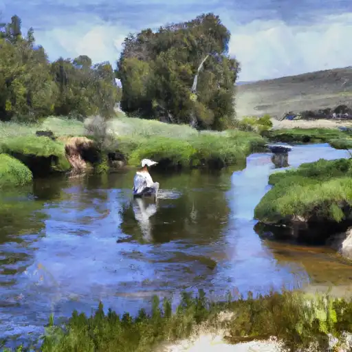
The meltwater from the snowpack of Banner Peak feeds into several creeks and rivers in the surrounding area. One notable example is Thousand Island Lake, located at the base of the mountain. This stunning lake is adorned with numerous small islands, adding to its scenic charm. It receives runoff from Banner Peak, enriching its water source and contributing to the diverse ecosystem of the area.
The name "Banner Peak" is believed to have been given in the early 1900s due to the resemblance of the mountain's profile to a banner or flag. This unique name adds to the mountain's allure and history. While no specific lore or legends are associated with Banner Peak, its natural beauty and challenging terrain have undoubtedly left a lasting impression on those who have ventured to its summit.
°F
°F
mph
Wind
%
Humidity
15-Day Weather Outlook
5-Day Hourly Forecast Detail
Regional Streamflow Levels
416
Cubic Feet Per Second
100
Cubic Feet Per Second
139
Cubic Feet Per Second
353
Cubic Feet Per Second
Area Campgrounds
| Location | Reservations | Toilets |
|---|---|---|
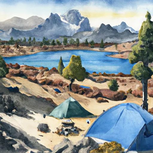 Minaret Lake
|
||
 Agnew Meadows
|
||
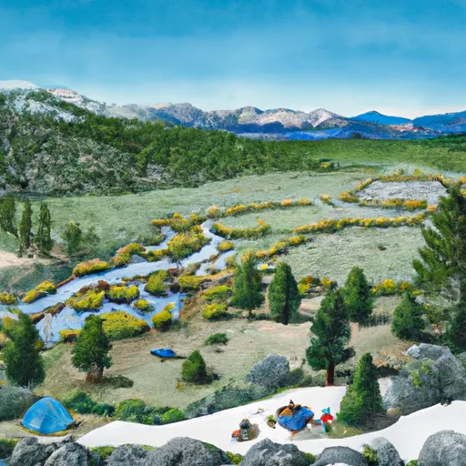 Lyell Fork
|
||
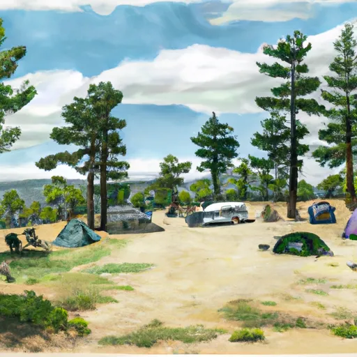 Agnew Meadows Campground
|
||
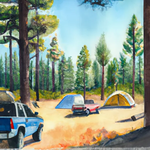 Upper Soda Springs Campground (Seasonal)
|
||
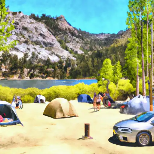 Silver Lake - June Lake
|

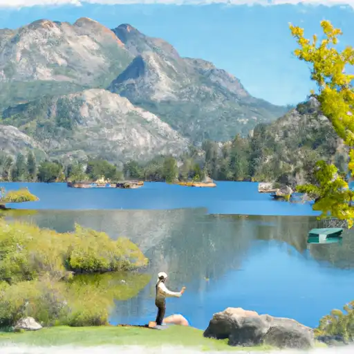 Silver Lake (June Lake)
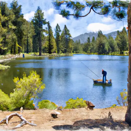 Fern Lake
 Isberg Lakes
 Rush Creek
 Evelyn Lake