Summary
With an elevation of approximately 3,620 meters (11,880 ft), it stands as an impressive landmark in the region. The mountain is characterized by its distinct cirque, a semi-circular basin carved by glaciers, which gives it its name.
During the winter season, Cirque Peak experiences a substantial snowpack range. Snowfall in the area can vary, with the deepest accumulations occurring at higher elevations. This makes it a popular destination for winter mountaineering and backcountry skiing enthusiasts. However, it is essential to exercise caution and have the necessary equipment and skills when exploring this mountain in winter due to the potential for avalanches.
Cirque Peak contributes to the water systems of the surrounding area by providing runoff to several creeks and rivers. While specific names of these water bodies were not readily available, it is likely that the mountain feeds into nearby streams and tributaries, ultimately contributing to the larger river systems in the region.
In terms of its history and lore, Cirque Peak's name originated from the French word "cirque," which means a circular hollow or basin. This name aptly describes the mountain's characteristic cirque feature. While no specific legends or folklore were found related to Cirque Peak, its breathtaking beauty and challenging terrain have likely captivated explorers and mountaineers throughout history.
°F
°F
mph
Wind
%
Humidity

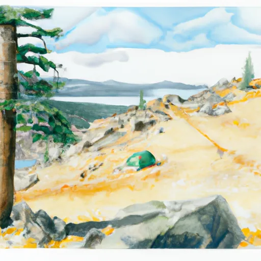 Chicken Spring Lake Camp Area 11,240ft.
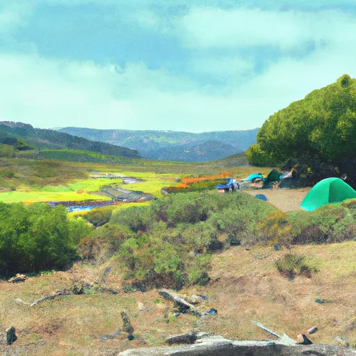 Golden Trout Camp
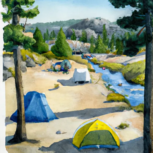 Upper Rock Creek Lake Camp Area
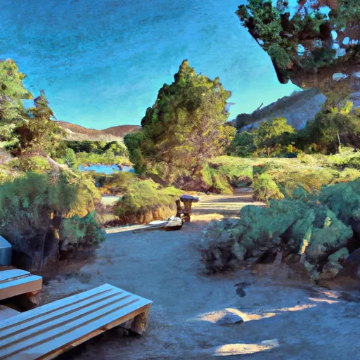 Cottonwood Lakes Walk in Campground
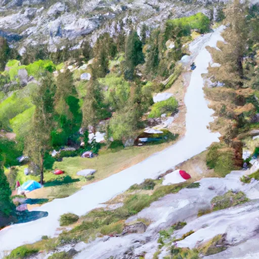 Cottonwood Pass Walk in Campground
 Lower Rock Creek Camp Area 2. 9,550ft. Bear Box.
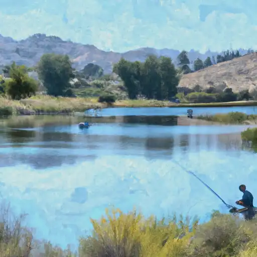 Cottonwood Lakes
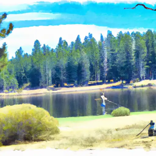 Muir Lake
 South Fork Cottonwood Creek
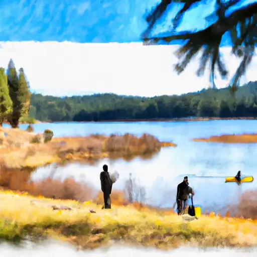 Meysan Lake
 Camp Lake