Summary
Rising to an impressive elevation, this majestic mountain stands tall amidst the rugged wilderness of the region. With its awe-inspiring size and unique geological features, Clyde Spires is a popular destination for mountaineers and outdoor enthusiasts alike.
During the winter season, the snowpack on Clyde Spires varies significantly, providing a thrilling challenge for experienced climbers. The snowpack range can be substantial, offering opportunities for winter sports such as skiing and snowboarding. As spring arrives, the melting snow feeds numerous creeks and rivers in the surrounding area, creating picturesque cascades and serene waterways.
The name Clyde Spires is rooted in the rich history of the Pacific Ranges. While the exact origin of the name remains unclear, it is believed to have been named after an early explorer or mountaineer who discovered the peak. The lore and legends surrounding Clyde Spires add an air of mystery to its already captivating presence. Tales of daring ascents, mythical creatures, and hidden treasures have been passed down through generations, igniting the imagination of those who venture into its majestic slopes.
In conclusion, Clyde Spires is an impressive peak in the Pacific Ranges mountain range, offering challenging mountaineering opportunities and breathtaking vistas. Its winter snowpack range and the subsequent runoff into nearby creeks and rivers add to its allure. The history of its name and the intriguing lore surrounding the mountain further enhance the allure of this remarkable natural wonder.
°F
°F
mph
Wind
%
Humidity
15-Day Weather Outlook
5-Day Hourly Forecast Detail
Regional Streamflow Levels
7
Cubic Feet Per Second
20
Cubic Feet Per Second
38
Cubic Feet Per Second
354
Cubic Feet Per Second
Area Campgrounds
| Location | Reservations | Toilets |
|---|---|---|
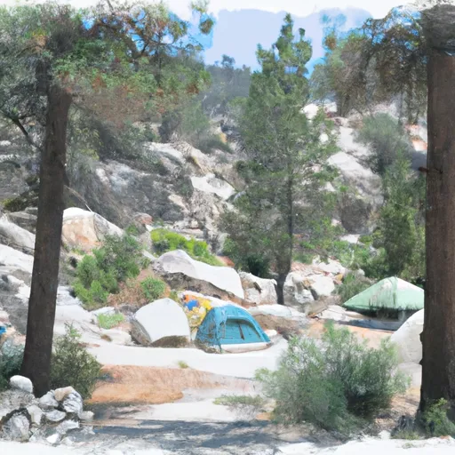 Sabrina Campground
|
||
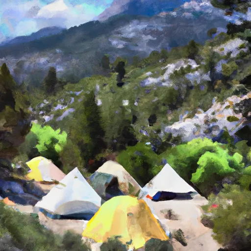 Sabrina
|
||
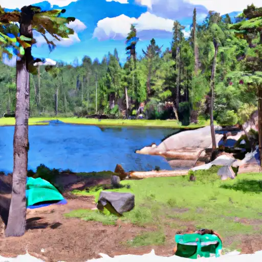 North Lake
|
||
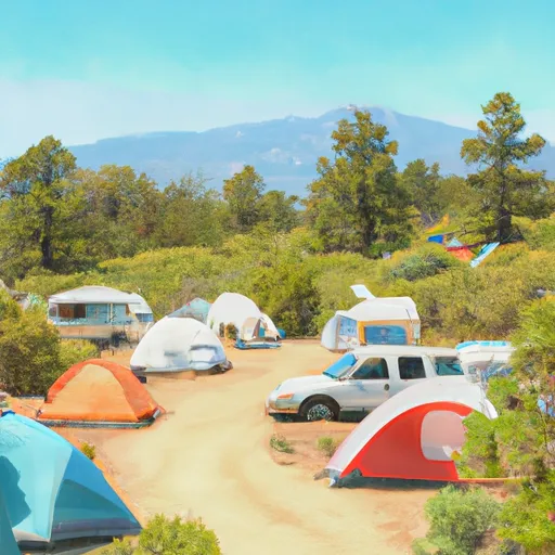 North Lake Campground
|
||
 Table Mountain Group Campground
|
||
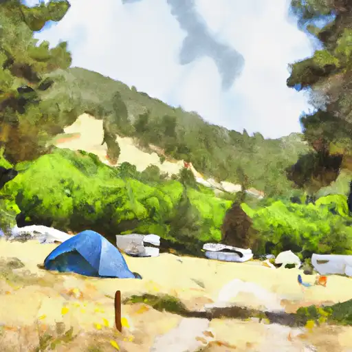 Mountain Glen
|

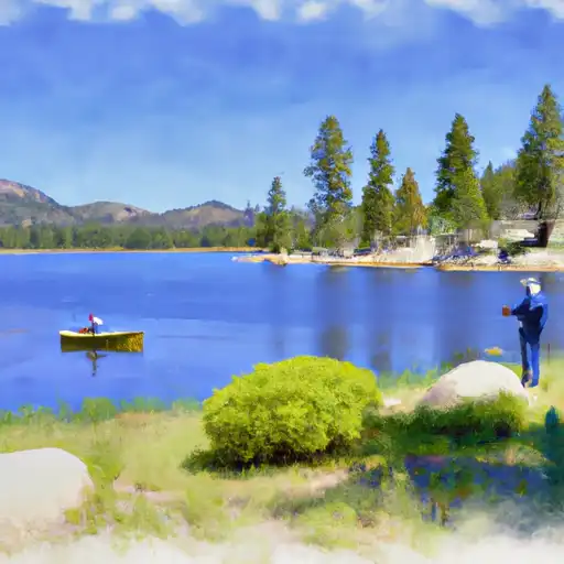 Granite Lake
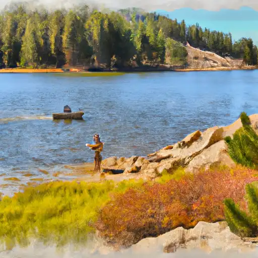 Margaret Lake
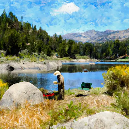 Lake Sabrina
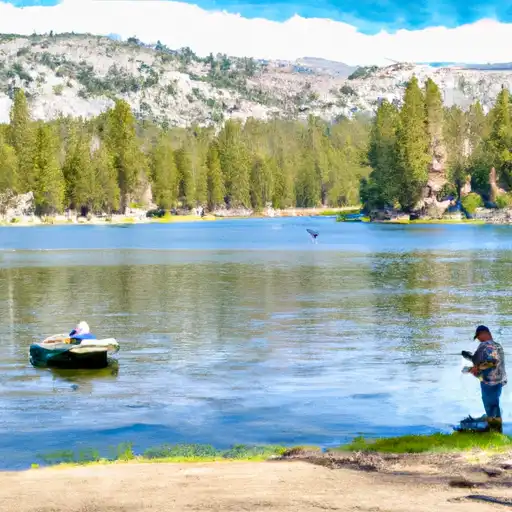 Lower Lamarck Lake
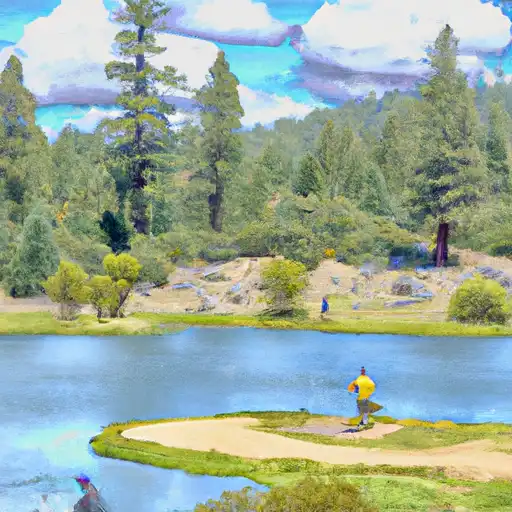 Grass Lake