Summary
With an elevation of approximately 3,000 meters, this majestic peak offers a thrilling adventure for experienced climbers seeking to conquer its lofty heights. Spanning a considerable size, Henry Peak is an impressive presence in the surrounding landscape.
During the winter season, Henry Peak is blanketed in a substantial snowpack. Its snowpack range varies annually, influenced by factors such as precipitation levels and temperature fluctuations. This makes it an enticing destination for winter mountaineering enthusiasts, who can revel in the pristine beauty of the snow-covered slopes and enjoy thrilling descents on skis or snowboards.
The mountain's runoff feeds into several creeks and rivers in the area, adding to their flow and contributing to the region's rich water resources. These waterways are not only important for local ecosystems but also provide a source of recreational activities such as fishing, kayaking, and rafting.
As for its name, the origin of "Henry Peak" remains somewhat mysterious. While no specific legends or lore are readily available, it is possible that the name holds significance to local indigenous communities or early European explorers who may have named it after a person or in honor of someone's achievements. The history and meaning behind the name could be further explored through in-depth research and consultation with local historians or indigenous communities.
In conclusion, Henry Peak stands as a majestic and challenging mountain within the Pacific Ranges. Its impressive elevation, size, and winter snowpack make it a prime destination for mountaineering and winter sports enthusiasts. Furthermore, its runoff contributes to the local waterways, enhancing the region's natural beauty and recreational opportunities. The mountain's name holds an intriguing history that may be connected to local indigenous heritage or early exploration.
°F
°F
mph
Wind
%
Humidity
15-Day Weather Outlook
5-Day Hourly Forecast Detail
Regional Streamflow Levels
1
Cubic Feet Per Second
467
Cubic Feet Per Second
8
Cubic Feet Per Second
139
Cubic Feet Per Second
Area Campgrounds
| Location | Reservations | Toilets |
|---|---|---|
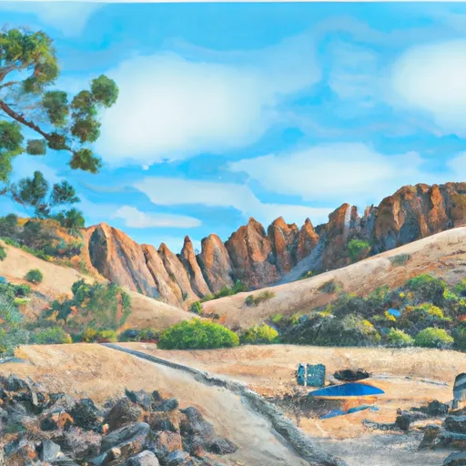 Pacific Valley
|
||
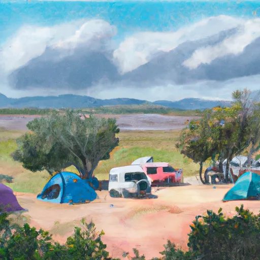 Pacific Valley Campground
|
||
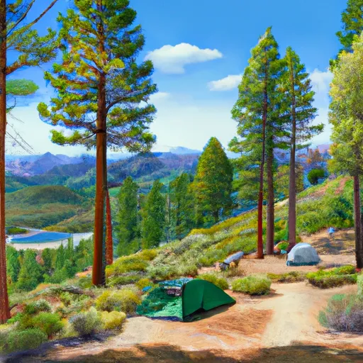 Highland Lakes
|
||
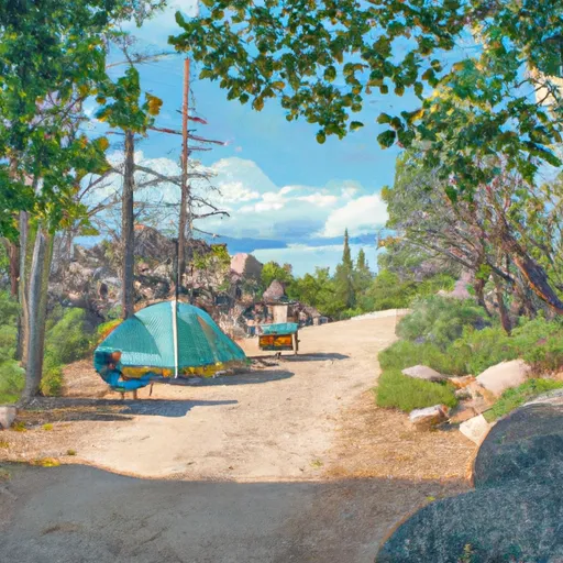 Highland Lakes Campground
|
||
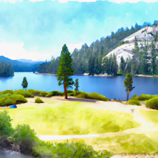 Mosquito Lakes
|
||
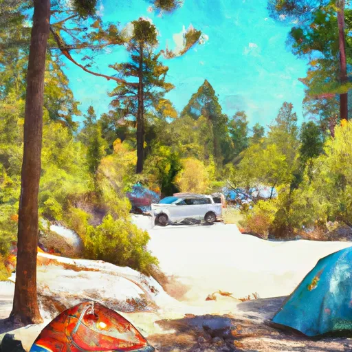 Mosquito Lakes Campground
|

 Hobart Creek
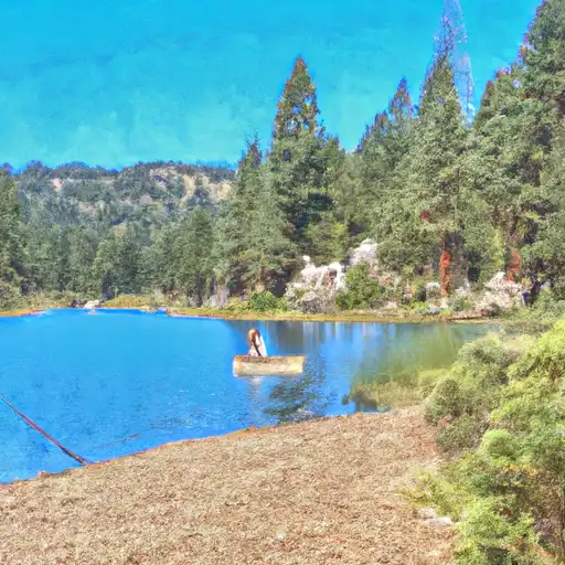 Lower Blue Lake
 Evergreen Lake
 Blue Lakes