Summary
With an elevation of 12,285 feet (3,744 meters), it stands tall among the surrounding peaks. The mountain's name was inspired by the famous Matterhorn in the Swiss Alps due to its similar steep and jagged appearance.
During the winter season, Matterhorn Peak experiences significant snowfall, making it a popular destination for winter mountaineering and backcountry skiing. The snowpack range varies depending on the year, but typically accumulates several feet deep, creating ideal conditions for winter sports enthusiasts. The mountain's location and elevation contribute to its ability to retain snow well into the spring months, providing a longer season for outdoor activities.
Matterhorn Peak is known for its glacially-carved cirques and rugged terrain. It is adjacent to the East Fork of the Carson River, which receives runoff from the mountain's snowmelt during the warmer months. This river is a popular destination for fishing and offers a scenic backdrop for hikers exploring the area. The mountain's beauty and challenging nature have made it a favorite among outdoor adventurers, attracting climbers from around the world.
As for legends and lore surrounding Matterhorn Peak, there are no specific historical accounts or mythical stories associated with this particular mountain. However, the area is rich in Native American history, with tribes such as the Washoe and Miwok having inhabited the region for centuries. These tribes likely held their own cultural beliefs and stories about the mountains, but specific legends related to Matterhorn Peak are not well-documented.
°F
°F
mph
Wind
%
Humidity
15-Day Weather Outlook
5-Day Hourly Forecast Detail
Regional Streamflow Levels
0
Cubic Feet Per Second
139
Cubic Feet Per Second
416
Cubic Feet Per Second
0
Cubic Feet Per Second
Area Campgrounds
| Location | Reservations | Toilets |
|---|---|---|
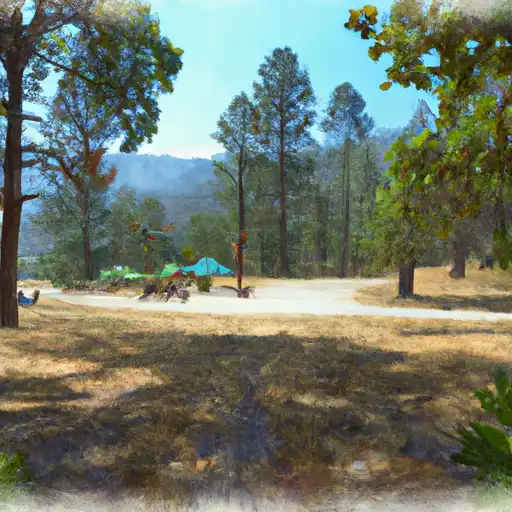 Green Creek
|
||
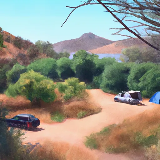 Green Creek Campground
|
||
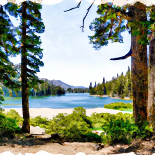 Lower Twin Lake
|
||
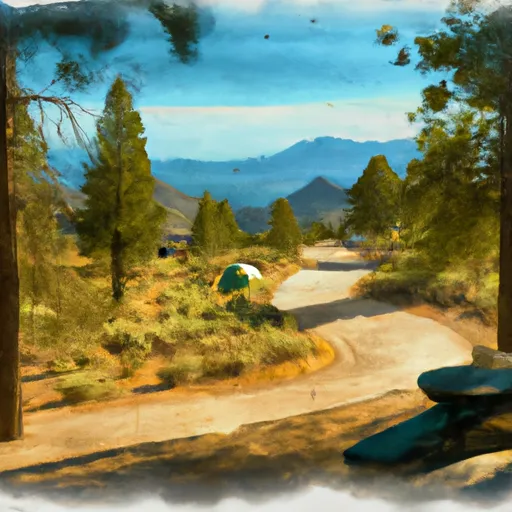 Lower Twin Lake Campground
|
||
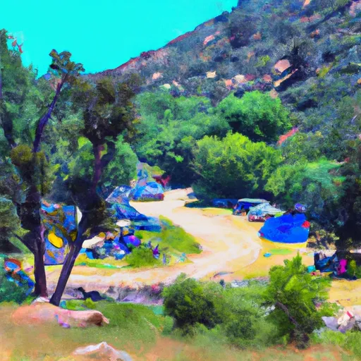 Green Creek Group Campground
|
||
 Paha
Paha
|

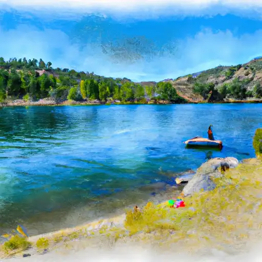 Twin Lakes (Bridgeport)
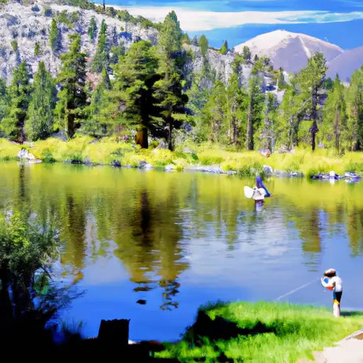 Virginia Lakes
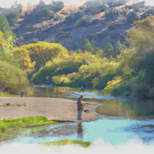 Green Creek
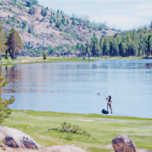 Kirkwood Lake
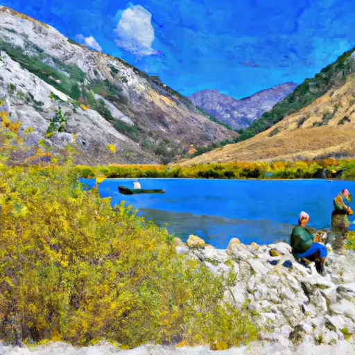 Lundy Lake