MOUNT AGASSIZ

Mountain Peaks Recreation Hydrology
November 21, 2024

SUMMARY

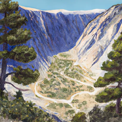
Mount Agassiz is a prominent peak located in the Pacific Ranges mountain range of California, USA. With an elevation of approximately 13,893 feet (4,235 meters), it stands as one of the tallest peaks in the region. This mountain is known for its stunning alpine scenery and challenging climbing routes, attracting mountaineers from around the world.

During the winter season, Mount Agassiz experiences substantial snowfall, with snowpack depths varying depending on the year. Snow conditions can be unpredictable, and climbers should be well-prepared for avalanche risks and changing weather conditions. The mountain's snowpack range is typically between 8 to 15 feet (2.4 to 4.6 meters), creating a challenging terrain for mountaineers.

Several creeks and rivers receive runoff from Mount Agassiz, contributing to the water supply of nearby regions. These include the Bishop Creek, which flows through the scenic Bishop Creek Canyon, and the South Fork Big Pine Creek. The mountain's melting snow also feeds into various lakes in the region, adding to their beauty and ecological importance.

As for the name and lore surrounding Mount Agassiz, it is named after Louis Agassiz, a renowned Swiss-American scientist and geologist. Agassiz made significant contributions to the field of glaciology and was a prominent figure in the study of the Earth's past ice ages. There is no specific lore or legends associated with the mountain, but its name pays homage to an influential figure in the scientific community.

In conclusion, Mount Agassiz in the Pacific Ranges is a majestic peak known for its impressive elevation and alpine beauty. It experiences a significant snowpack range during the winter season, contributing to the water supply of nearby creeks, rivers, and lakes. The mountain's name honors Louis Agassiz, a prominent scientist in the field of glaciology.

Weather Forecast

°F

°F

mph

Windspeed

%

Humidity


16-Day Long Term Forecast
       

Get Unparalelled Insights

Explore the Map

Whether you're planning your next ski trip or tracking stream flows for an upcoming rafting expedition, our map offers instant access to essential conditions, forecasts, and trends.

Watershed River Levels

29

Cubic Feet Per Second

6

Cubic Feet Per Second

0

Cubic Feet Per Second

39

Cubic Feet Per Second