Summary
Standing at an elevation of 13,370 feet, it is one of the highest peaks in the region. This impressive mountain offers challenging and rewarding mountaineering opportunities for experienced climbers.
During the winter season, Mount Guyot receives a substantial amount of snowfall, contributing to its breathtaking beauty. The snowpack range varies each year, with depths that can reach up to 20 feet in some areas. This abundant snowfall makes it a popular destination for winter sports enthusiasts, such as backcountry skiers and snowshoers.
The mountain is surrounded by several creeks and rivers that benefit from its runoff. Notable among these is the scenic Kern River, which flows from the southern slopes of Mount Guyot. The river is renowned for its crystal-clear waters and offers opportunities for fishing, rafting, and other recreational activities.
The name of Mount Guyot is derived from the Swiss geologist and geographer Arnold Guyot. He was the first to accurately measure the elevation of several peaks in the Sierra Nevada mountain range during his expedition in the 19th century. Mount Guyot is part of the rich mountaineering history in the region, with many climbers attempting its challenging routes and leaving their mark on its slopes. The mountain also holds interesting legends and lore, with tales of hidden treasures and mythical creatures that have intrigued adventurers for generations.
°F
°F
mph
Wind
%
Humidity

 Lower Rock Creek Camp Area 2. 9,550ft. Bear Box.
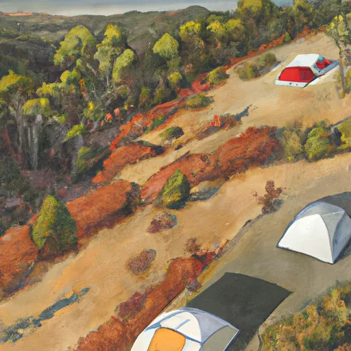
 mid peninsula campsite two (4-5 tents)
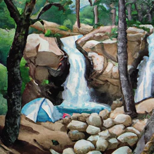
 waterfall for two campsite (1 tent)
 mid peninsula campsite one (2-3 tents)
 north side campsite (1-2 tents)
 middle of the road campsite (1-2 tents)
 Mirror Lake
 Meysan Lake
 Upper Boy Scout Lake
 High Lake
 Camp Lake